Krimulda – Vangaži


Krimulda – 12.5 km Rāmkalni – 2 km Hunting Castle – 8,5 km Vangaži
Stage consultant – Sandra, WhatsApp or SMS, +371 29299555, e-mail: rone101010@gmail.com
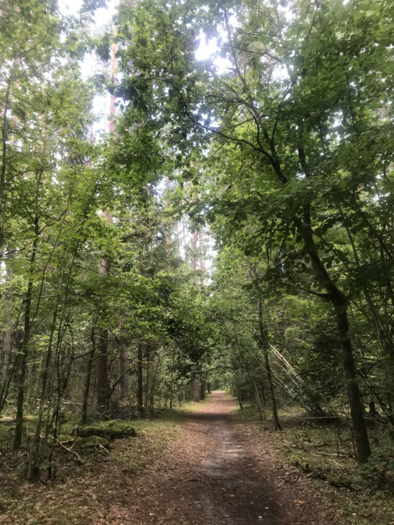
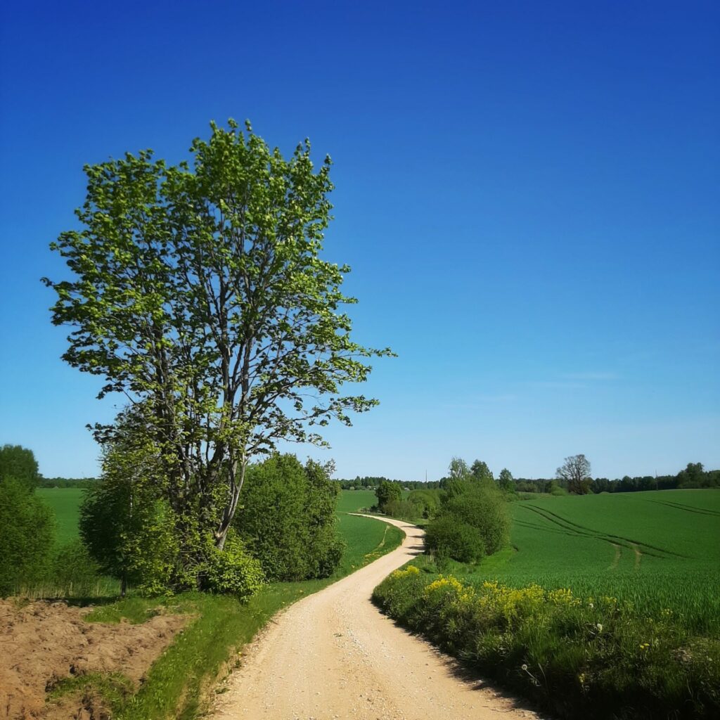
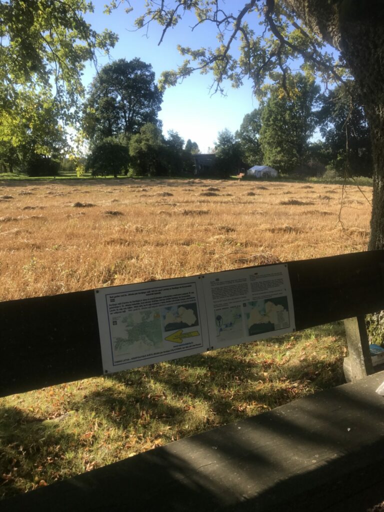
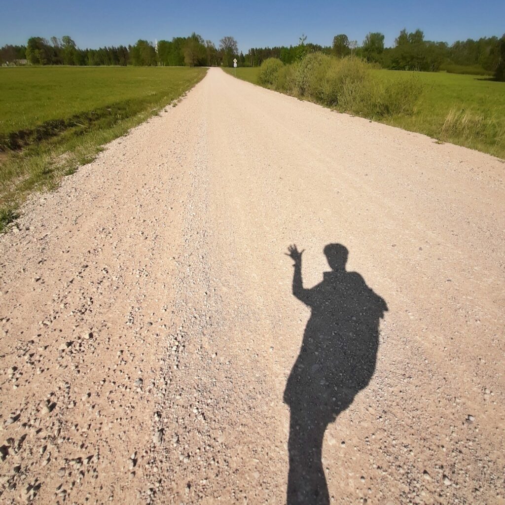
This is an interesting section of the path that is relatively easy to walk and it can be divided into two sections that are similar in length: Krimulda Church – Rāmkalni – Vangaži. Rāmkalni, as the mid-way point, is especially noteworthy, as it is a place where travelers can eat and shop, as well as visit well-equipped toilets. On this section the trail will be very diverse – you will be going along a good forest road, some parts will wind along the bank of the river Gauja, at some points a very sandy road, and one section will pass along country houses and cultivated fields. At the end of the section, a small section along a gravel road.
On the first half of the road, there will be nowhere to buy drinking water, so the water needs to be refilled before leaving the previous accommodation or at the water tap of the Krimulda Pilgrim’s Tea House. Keep in mind that, if you go through this stage in warm weather, you will need a lot of water. It will be possible to buy water in a store in Rāmkalni, or from the springs of the Hunter’s Power Trail.
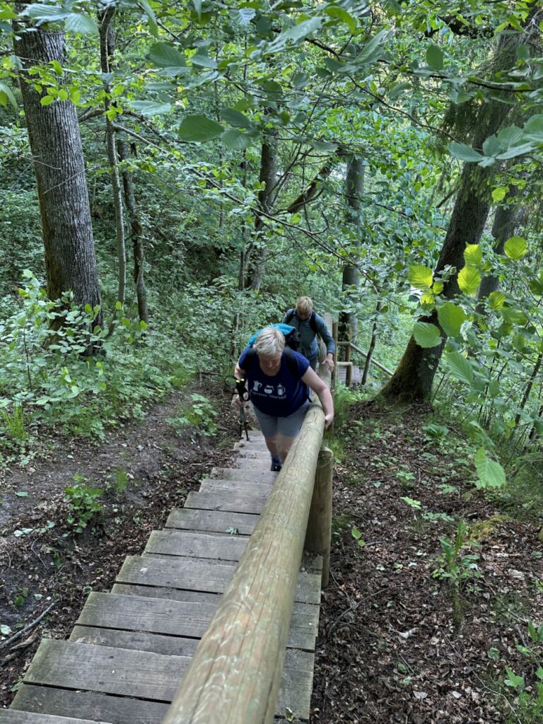
The road starts at the Krimulda church. Today you have to climb down from the Kubesele castle mound to the pastor’s house on the stairs, which you climbed yesterday. Road sign – “Kubesele Nature and History Trail”.
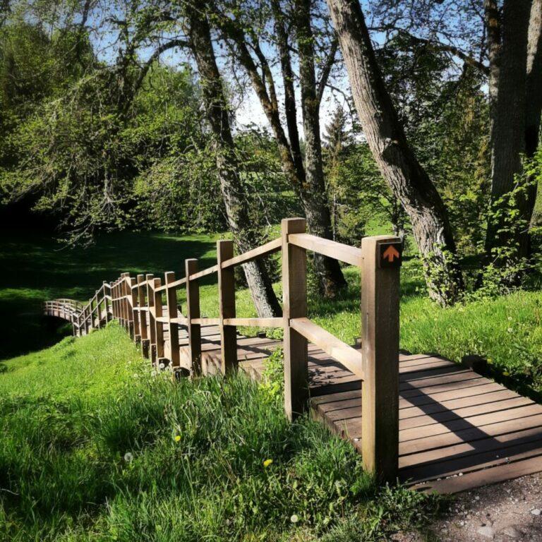
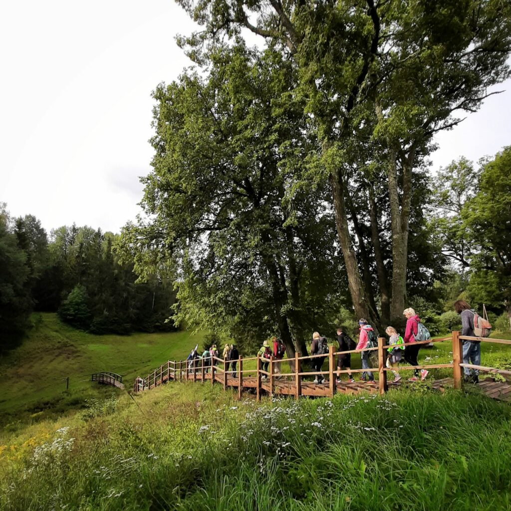
When you have descended the long stairs, first cross the Runtiņupīte river along the semicircular bridge and then immediately turn right, continuing along the path towards the forest (on the left side of the trail there will be a forest, but on the right – the fields).
After about 500 meters you will reach a country road – here you have to go left. The road winds into the forest, the Old Cemetery (also named Baron’s Cemetery) remains on the right side. The road is equipped with orange-green pedestrian / bicycle pathway signs.
About 600 meters we walk through the forest. Among the trees you can see the Gauja cemetery, as well as Batariņa type hills. The large, fuzzy hills probably can be attributed to the so-called Gauja Semigallians – representatives of the Baltic tribes.
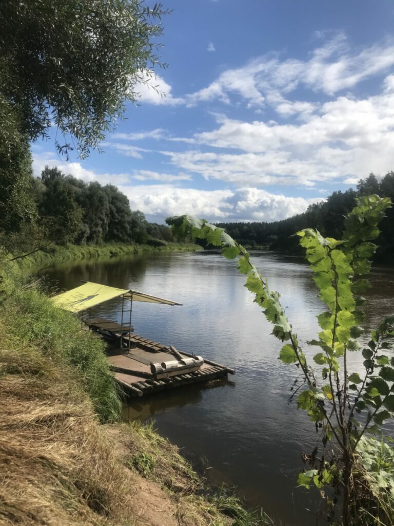
In the small parking lot next to the cemetery you can find a modern country toilet. Further on go down the mountain trail, which leads about 200 meters down to the river Gauja. When reach the crossroads with the indications Sigulda/Murjani, the road must be continued in the direction of the Murjani. But there is a chance to descend further down to the Plostnieku anchorage where is a rest area with a table and benches. Timber rafting is the oldest mode of timber transport. On the Gauja River it took place from 1850 to 1970. There is a concrete anchor cast in a concrete block on the shore with a huge metal loop for tying the rope or winch. If you wish, you can take a small detour to the left and see the Big Stone, which is located about 50 m from the river Gauja.
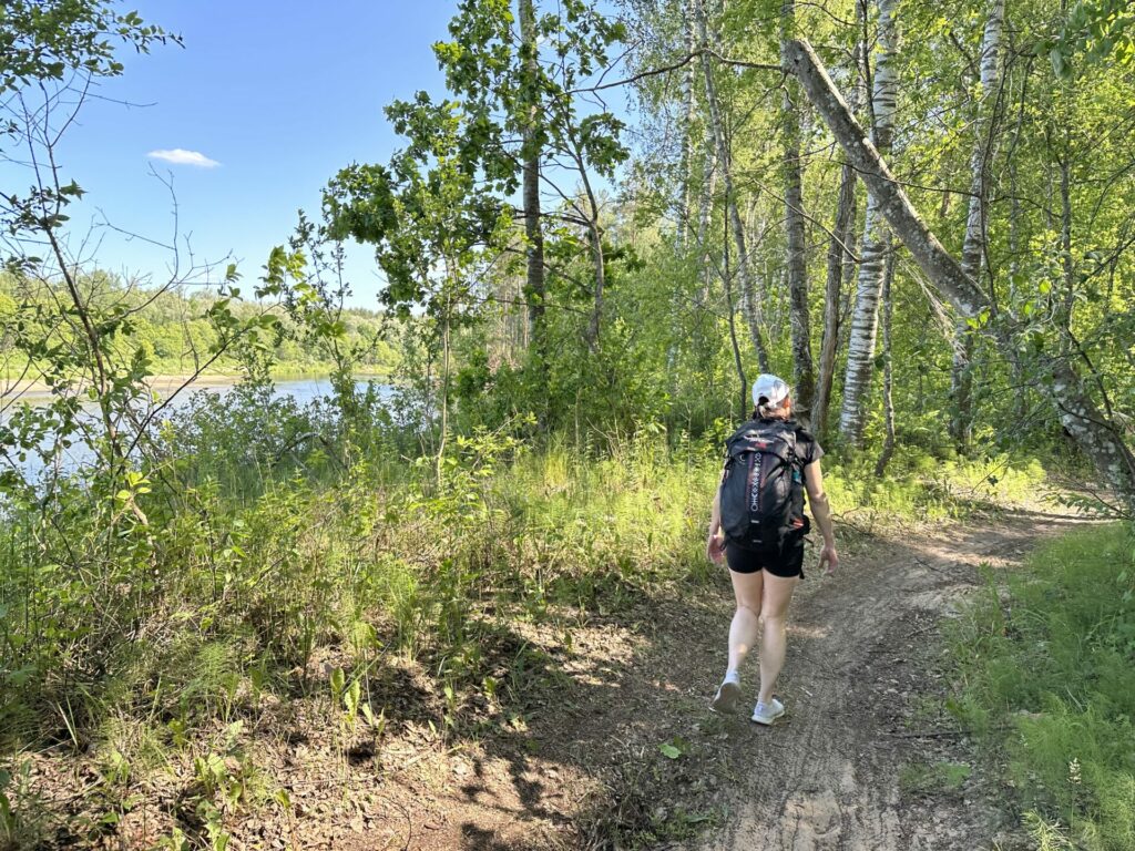
For almost as far as Rāmkalni, our road goes along the walking trail “Lasīttaka”. This route is an initiative of the Imants Ziedonis Museum, inspired by Ziedonis’ book “Es, cilvēks, pasaulē”, and is marked with brown signs with the “staircase” symbol (they can be seen starting from the Sigulda bridge). About 10 meters before the river you can see the sign of Lasīttaka – here we turn right and continue along a beautiful forest path near the course of the Gauja with its original and wild touch of nature.
This section of the road is also actively used by cyclists, who often traverse the trail at high speeds, so the pedestrian must be careful.
After walking a little over 1 km, the trail turns sharply to the right. The brown road sign of the Lasīttaka will guide you the right way.
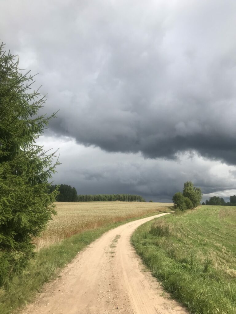
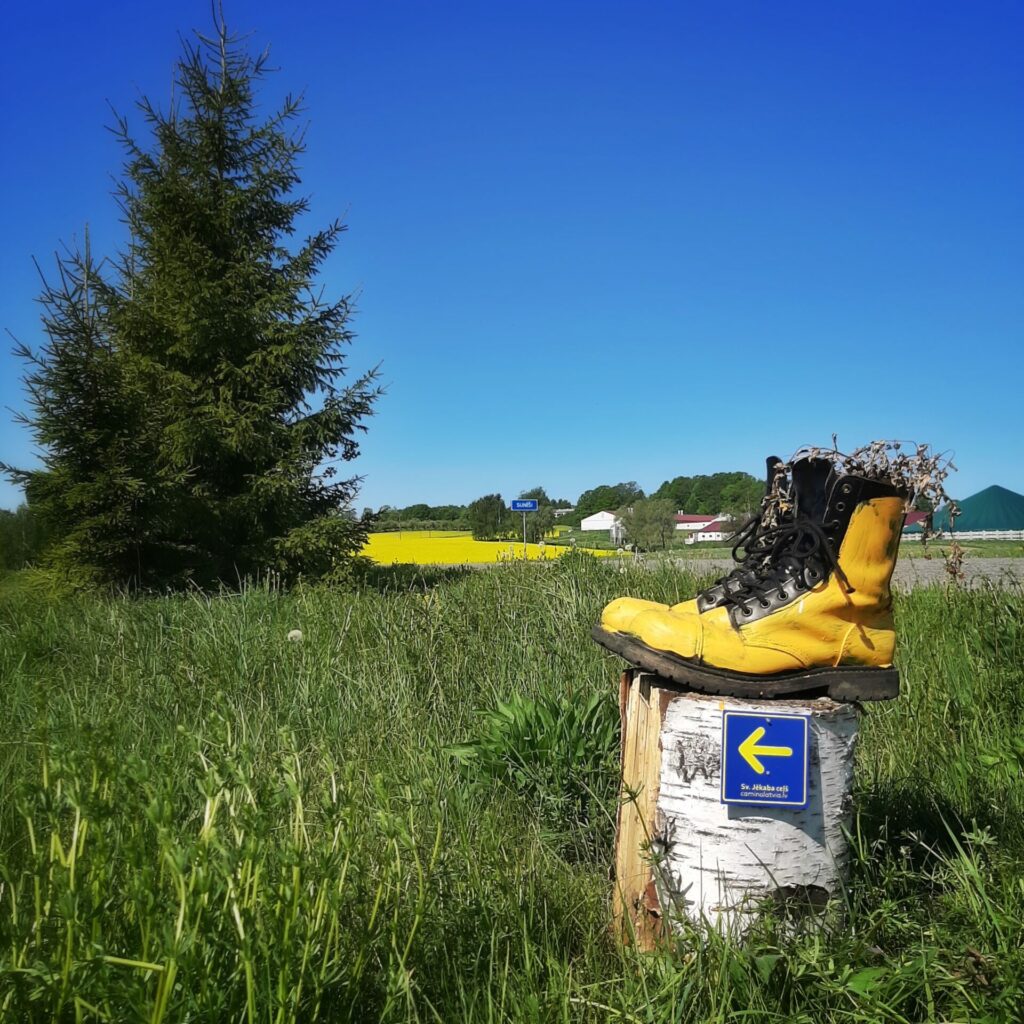
After about 700 meters the forest ends, the path exits on a gravel road, where you have to turn left (the road sign points to Murjāņi). You go past meadows, fields and old private houses. This section of the road is very picturesque and pleasant for the traveler. Only on a hot summer day the sun could cause problems. After less than 2 km you exit on the asphalted road V92, which leads to Sunīši. We turn left following the Lasīttaka road sign.
Take this road for about 500 meters, and then turn left following the Lasīttaka sign. After another 500 meters, a wide country road takes you to an asphalt road, where you have to turn left, which is again indicated by the Lasīttaka road sign.
Continue along the asphalt road until you see the brown road sign leading you to the right onto a dirt road that leads to the tree nursery “Zābaki”. The next 500 meters are on a beautiful winding road. Then follow the Lasīttaka / Murjāņi road sign to the right, where after a little more than 500 meters you reach the Gauja river again. On the way to the river Gauja you can see the oak plantation planted by the employees of Latvijas Finieris in 2001.
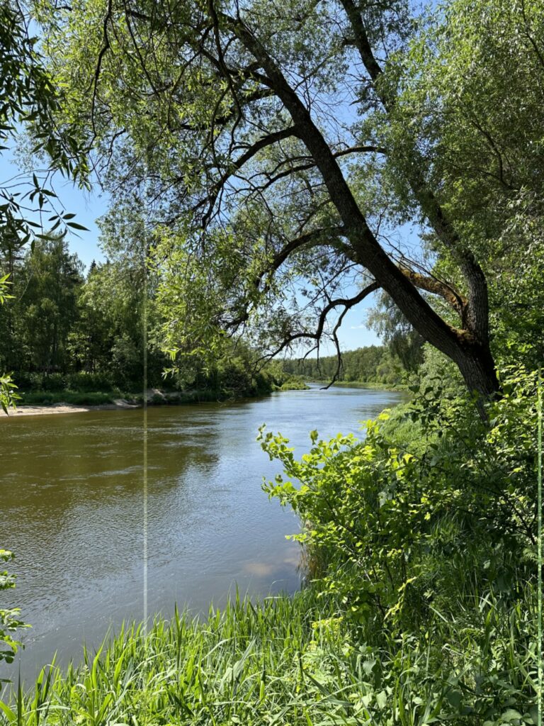
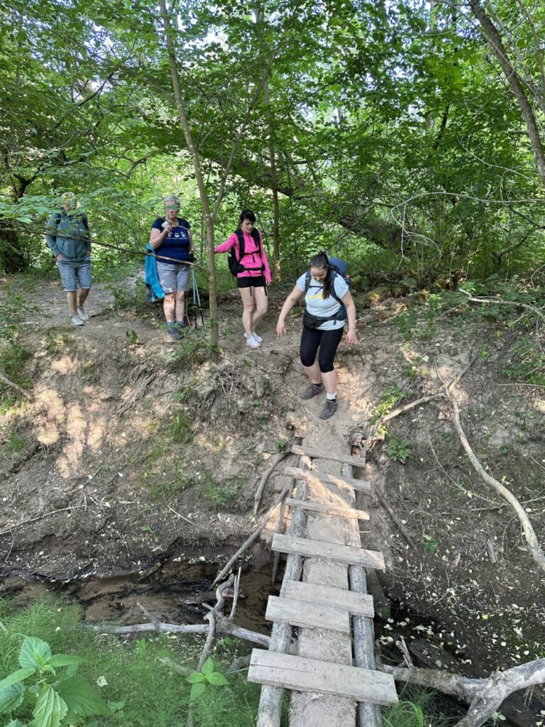
At the river Gauja, there is a wooden footbridge, along which you can get across the old river directly to the bank of the Gauja River. The landscape here is a real masterpiece of nature.
After a short walk on the bank of the Gauja, you will encounter a rest area with tables, a fireplace and a country toilet. Everything here invites the traveler to sit down, take a breath and enjoy the beauty of nature.
Once again, the brown Lasīttaka road sign does not allow you to lose your way.
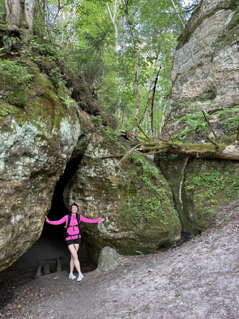
There is an interesting natural object not far from the rest area – the Bada (Famine) ravine. It was formed by the stream and its depth is about 27 meters, width up to 50 meters, but length 335 meters. You can look at the ravine from above by climbing the path equipped with rope railings, but you can also go directly inside the ravine, where after the first 20 meters you’ll encounter exciting views with several rock formations.
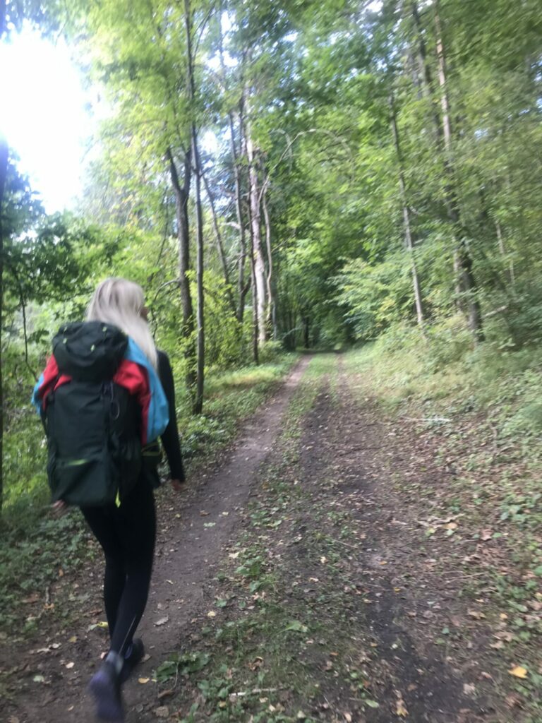
After sightseeing in the ravine, you continue to walk along the river Gauja. In some places the road re-enters the forest. After about 3.5 km you will have reached the last “Lasīttaka” road sign – it points to the right, to the Ziedonis Museum, which is definitely worth a visit. If you do so – we recommend that you allow at least a couple of hours.
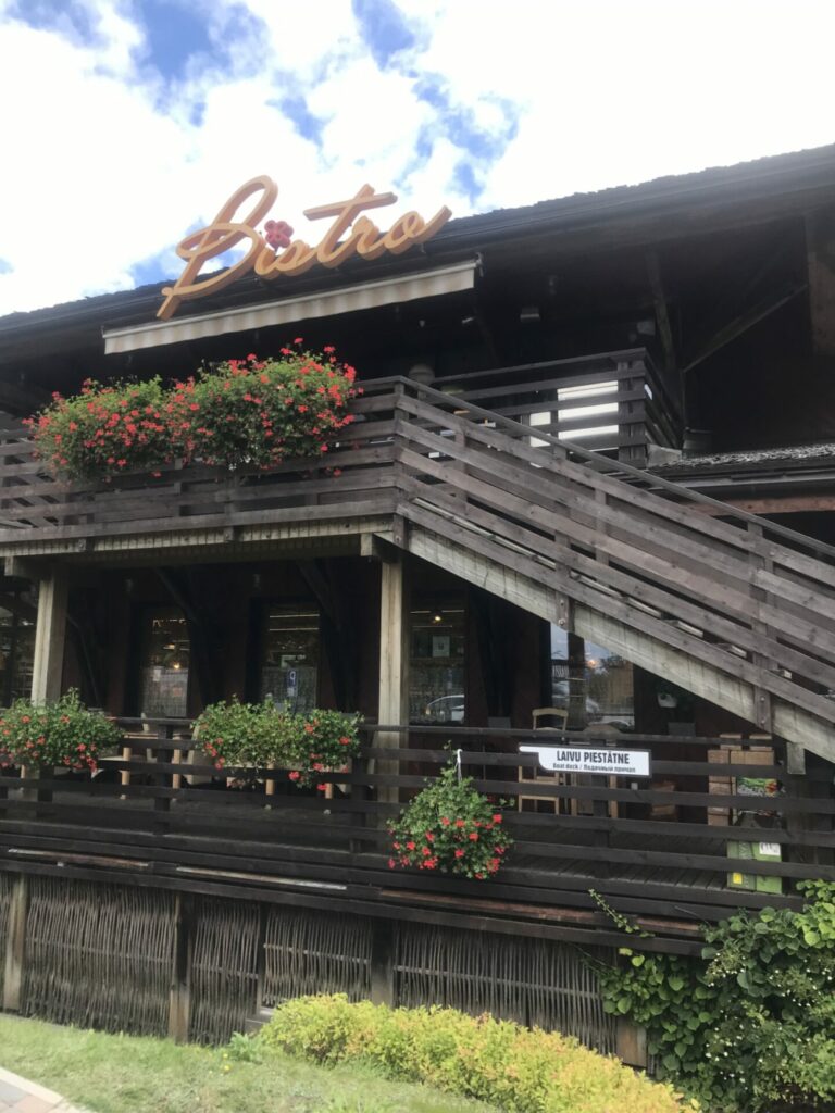
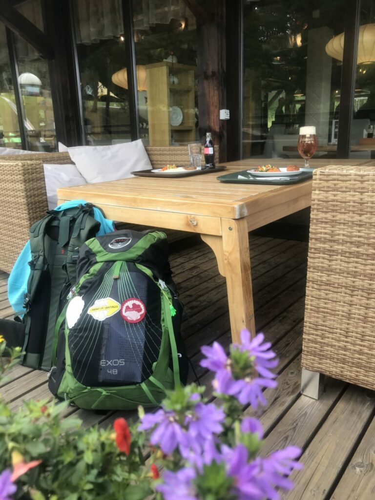
After visiting the museum, return to the road sign and continue walking along the Gauja. After another 1.5 km, when the bridge over the Gauja near “Rāmkalni” can be seen, the road leads to the right over the wooden footbridge. There is a rest area with tables and a toilet on the bank of the Loja River. Going left to the A3 motorway, cross the Gauja over the bridge and get to the recreation complex “Rāmkalni”. There is a shop where you can buy water and a variety of delicacies, a free-of-charge modern toilet and the possibility for a delicious lunch meal. An ATM is also available. You can also just enjoy a coffee to gain strength for the other part of the road to Vangaži.
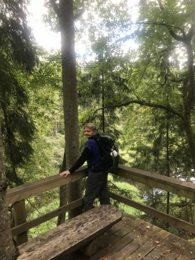
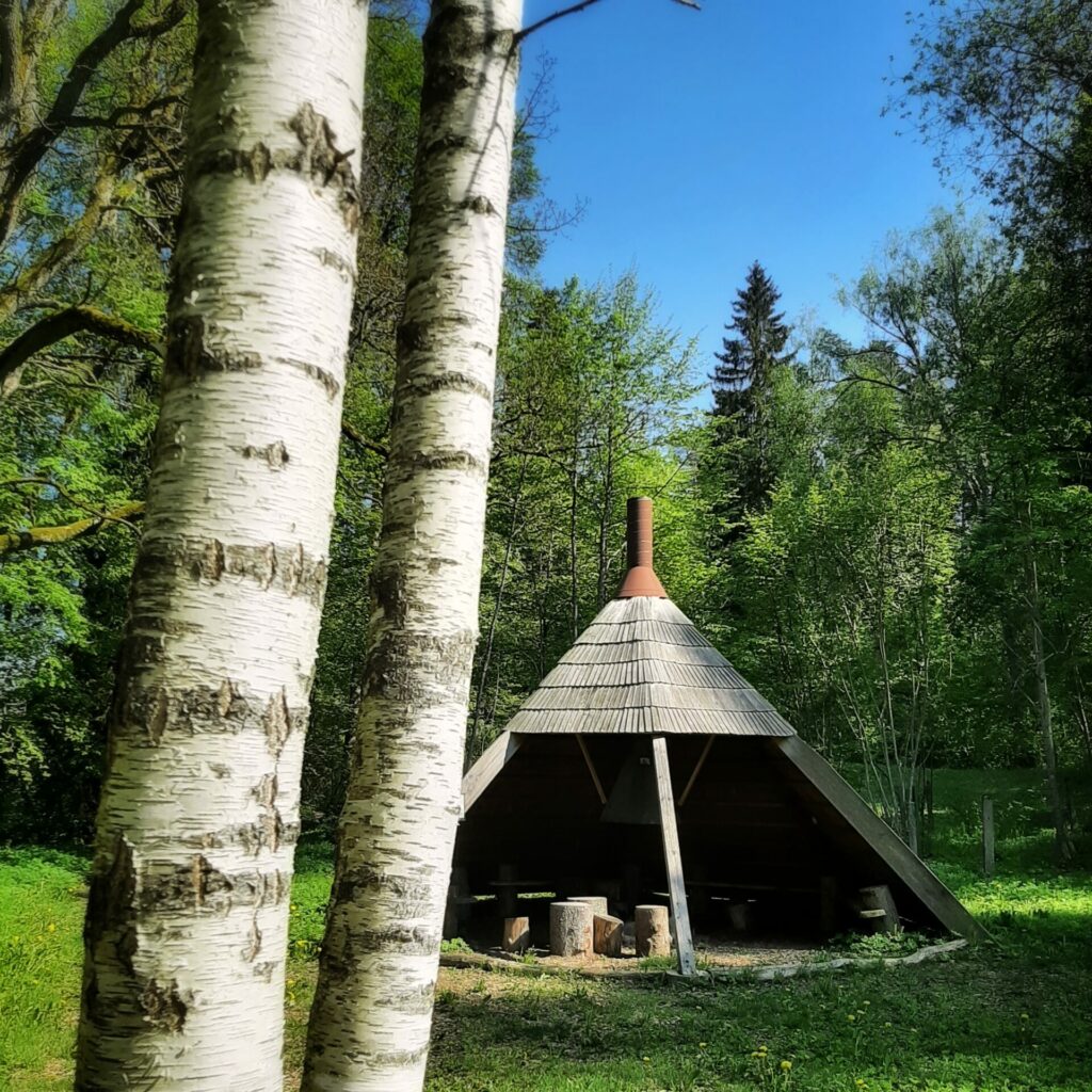
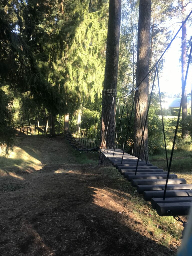
At “Rāmkalni” carefully cross the road Murjāņi – Valmiera Opposite, we see a Camino road marking sign pointing to keep the path to the left. Climb a sandy path up a hill parallel to the motorway and turn right to pedestrian street 300 metres later. Continue through a district of the private houses and in 350 meters turn to the right. An asphalted road begins, which, after next 350 metres, leads out onto a road of greater significance where traffic occurs. Following signs at the roadside, we reach a sign indicating turn to Velnala. Following this sign continue on a sandy road with disc golf course on the left side, we continue to the rest area set up so people can go for water to the spring “Svētavots”. We continue straight behind the car barrier and reach the info stand above Velnala, where the road leads to the left. We continue along the Hunter’s Power Trail (Mednieku Spēka taka) to the Hunting Castle. The trail is really interesting – bridges, stairs, a vantage point and other additions to make the walk more interesting. At the final stage of the Hunter’s PowerTrail you will reach a wigwam-type resting place with benches and a campfire place in a meadow surrounded by mighty oaks. On the hill we reach the Hunting Castle.
When you reach the road behind the Hunting Castle, to the right road turns to accommodation “Zuši”, but we turn left and after about 150 meters you’ll reach the road junction of Inčukalna Kārļzemnieki. Turn right onto a wide gravel road which leads to Vangaži Ev. Luth. Church, but after 50 meters turn left onto a sandy forest road.
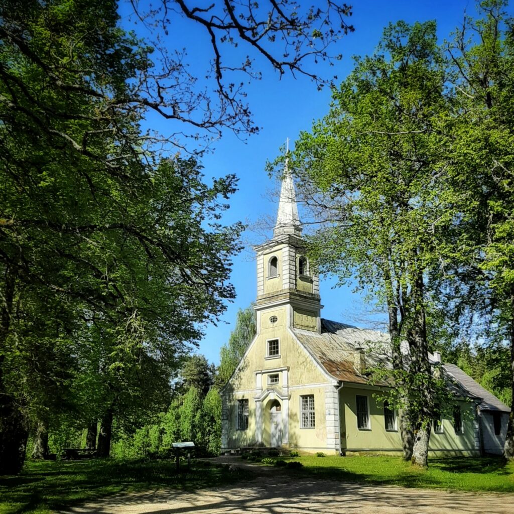
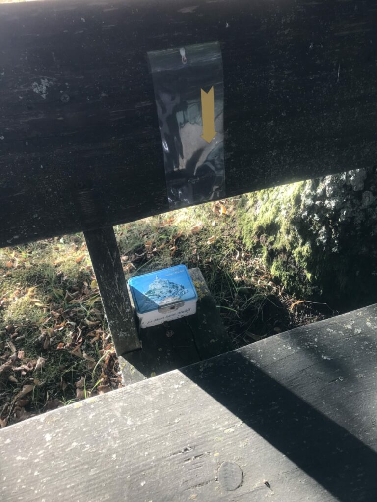
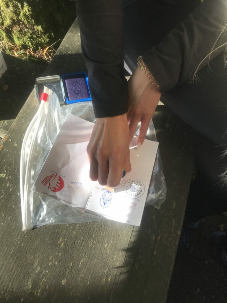
After 500 meters at the crossroads turn right and then again right and continue along a wider forest road straight ahead. After 570 meters, a road appears, leading to the left, but we have to keep walking straight along the home in “Jaunsilas.” At 670 meters, another road is branching out and leading to the left as if back, but we only have to keep going straight. 200 meters to the right, a wide track passes in the woods, but we must continue to the left, along the gravel road, which is passed by a track after 150 meters. We keep going straight. After 250 meters, the clearing is passed by a wide cut-out track, where huge electricity poles are standing. At 550 meters, another passage passes through the road, but we continue to go straight. After 900 meters, we come to an intersection where we see a church on the right side 160 meters away. Our path will continue to the left, but first we turn to the right to look at the church closer. There is a wooden table and benches in the shadows of the trees where you can rest. There is also a box with a Camino stamp that everyone can print into his pilgrim’s passport.
You have reached the Vangaži Evangelical Lutheran Church, the origins of which can be traced back to 1630. This stone church building was built in 1789 though. The church was then destroyed in World War I and rebuilt in 1935. It experienced its third rebirth in 1992.
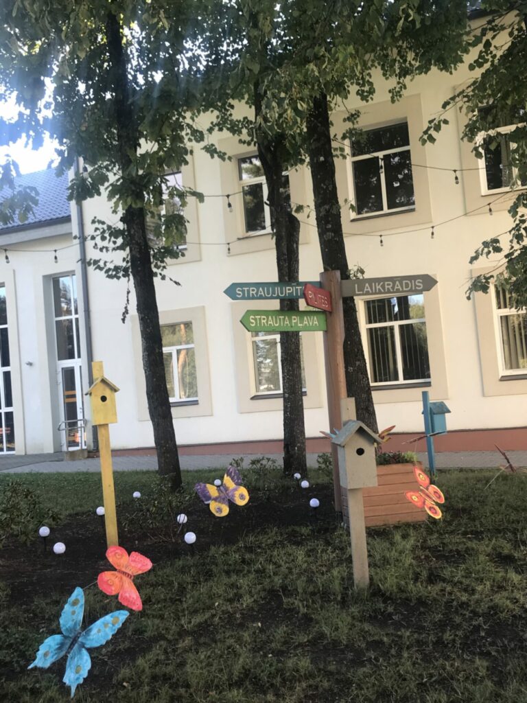
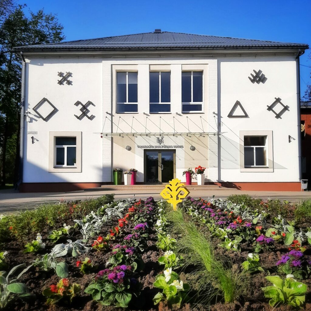
After visiting the church return to the intersection and go straight along a wide gravel driveway leaving the church behind. After approximately 2 km you will will be in touch the first night house (bed) in private house “Tiltiņsili”. And about 0.5 km, turning into the forest path on the left, you will have reached the second Vangaži stage night house “Mežvidi”. It is managed by Zane, who has traveled to 75 countries and traveled the roads of Santiago in Spain and Portugal. If accommodation is not needed, then continue on the road and after 500 meters, without going to the highway, turn to the right on Airīšu Street towards the city center of Vangaži. After about 250 meters go slightly left and continue along Senču Street. After another 350 meters at the crossroads, turn right onto Dārza Street. After 150 meters turn left to Parka Street and then walk on the pedestrian path along the Straujupīte river to the bridge. The road crosses Straujupīte. After crossing the bridge turn left onto a path and leads through the park to the Vangaži Culture House and the city’s central square with the big city clock. Here we get to the central street of Vangaži – Gaujas Street – where you can find grocery stores, an ATM, a pharmacy. There is also a connection to local buses, but the intercity stop is on the A2 motorway.