Vangaži – Carnikava


Vangaži – 10 km Garkalne – 8 km Ādaži – 9 km Carnikava
Stage consultant – Aija, WhatsApp or SMS, +371 26358285, e-mail: mirriamster@gmail.com
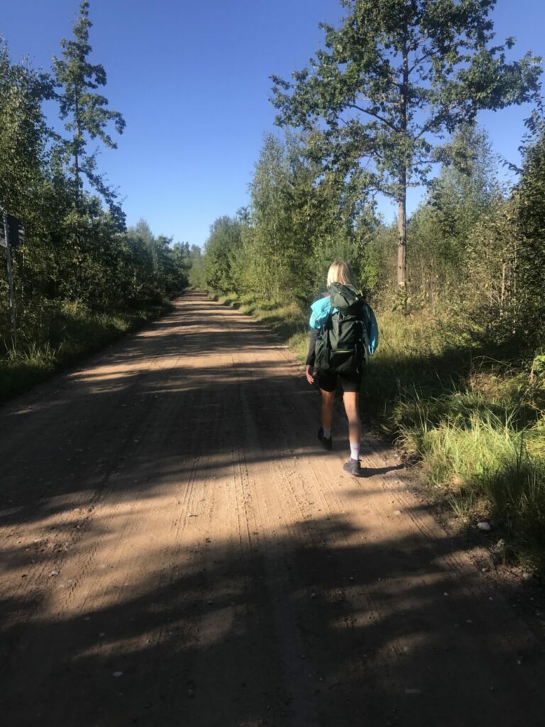
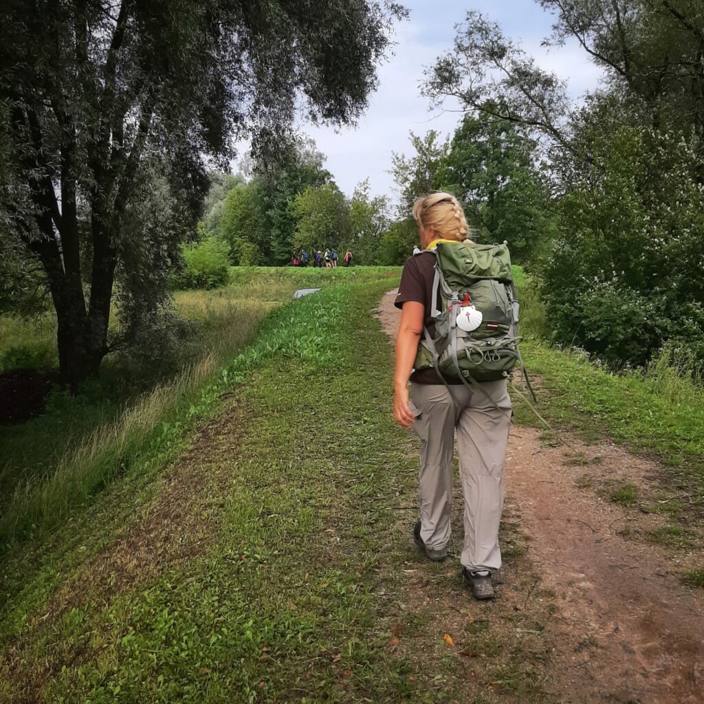
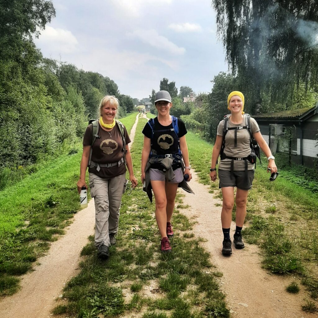
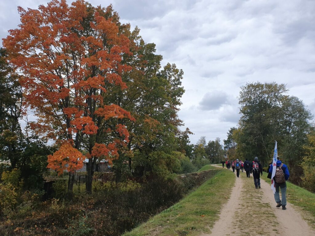
The 27 km long stage from Vangaži to Carnikava starts in the central square of Vangaži. The road is easy to walk, the first part leads along various country and pedestrian roads, but the second part – along the Gauja river dam, therefore the possibility to stray from the road is quite small.
Although the Pierīga region is relatively densely populated and the road leads through several residential areas, this does not mean an constantly urban environment. On the contrary even – the road bypasses all the temples of modern civilization, so it is necessary to prepare food and drinking water before hitting the road.
It should also be noted that the Ādaži military training ground is located on the opposite bank of the Gauja river. Therefore, the occasional sound does not always indicate the approach of a storm and the helicopters in the sky are not rushing to rescue accident victims.
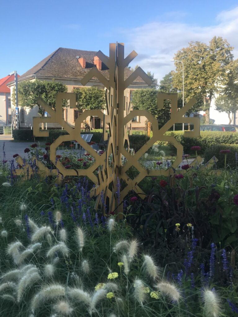
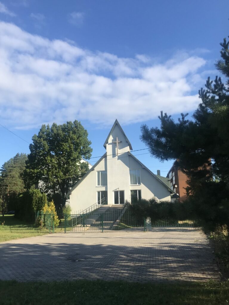
We start the stage in the central square of Vangaži and leave of the city along the Gaujas Street. However, we should not give in to the temptation of a smooth, paved footpath, because after 200 meters we will have to turn right onto Priežu Street. Next to the intersection, we see the Vangaži Christian parish house built in a modern style and decorated with a large cross on the facade. The asphalt road takes us into the forest and after a little more than a kilometre it takes us to a gardening and private home colony. We continue along the asphalted Priežu Street for 400 meters until the street branches off to the left. The road leads to the company “Vangažu avots”, but we choose to go left, continuing along Vangažu Street. After 300 meters at an intersection, the asphalted street will turn sharply to the left, but we must continue to go straight along the gravel road and after another 100 meters we see a road sign that shows we have left Vangaži.
We continue to go straight along the gravel road and after a little more than a kilometre and few curves it takes us into Ādaži region and into Āņi. We take the Stempju road, which makes a sharp turn left after more than half a kilometre, but a little further – a sharp turn to the right. A slightly winding part of about 1300 meters take us to the end of the Stempju road. Here we turn right at the intersection, proceed along the gravel road and almost immediately we re-enter Āņi again. The gravel road is replaced by asphalt and along the pompous new neighbourhood we enter Garkalne after 700 meters.
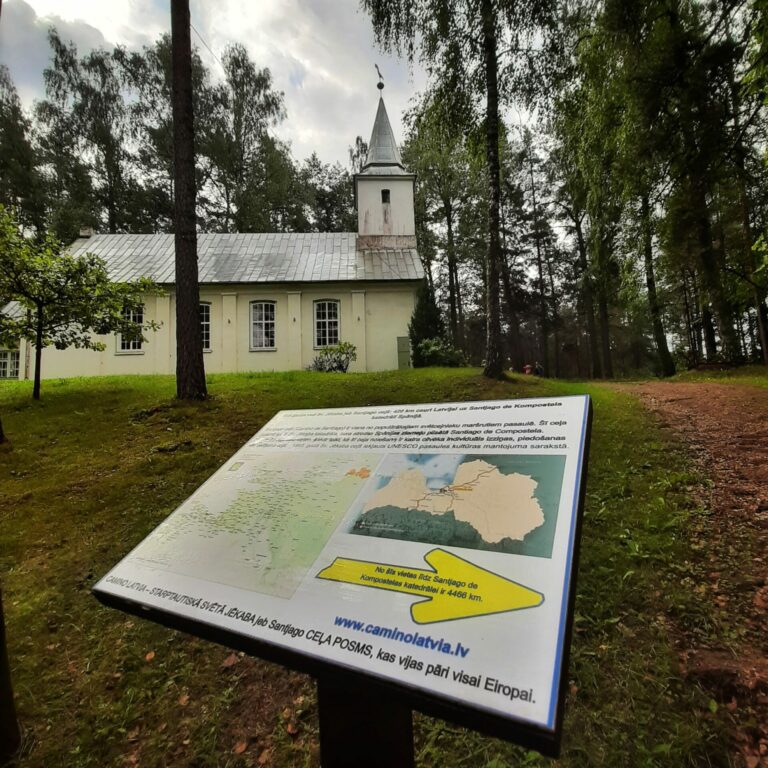
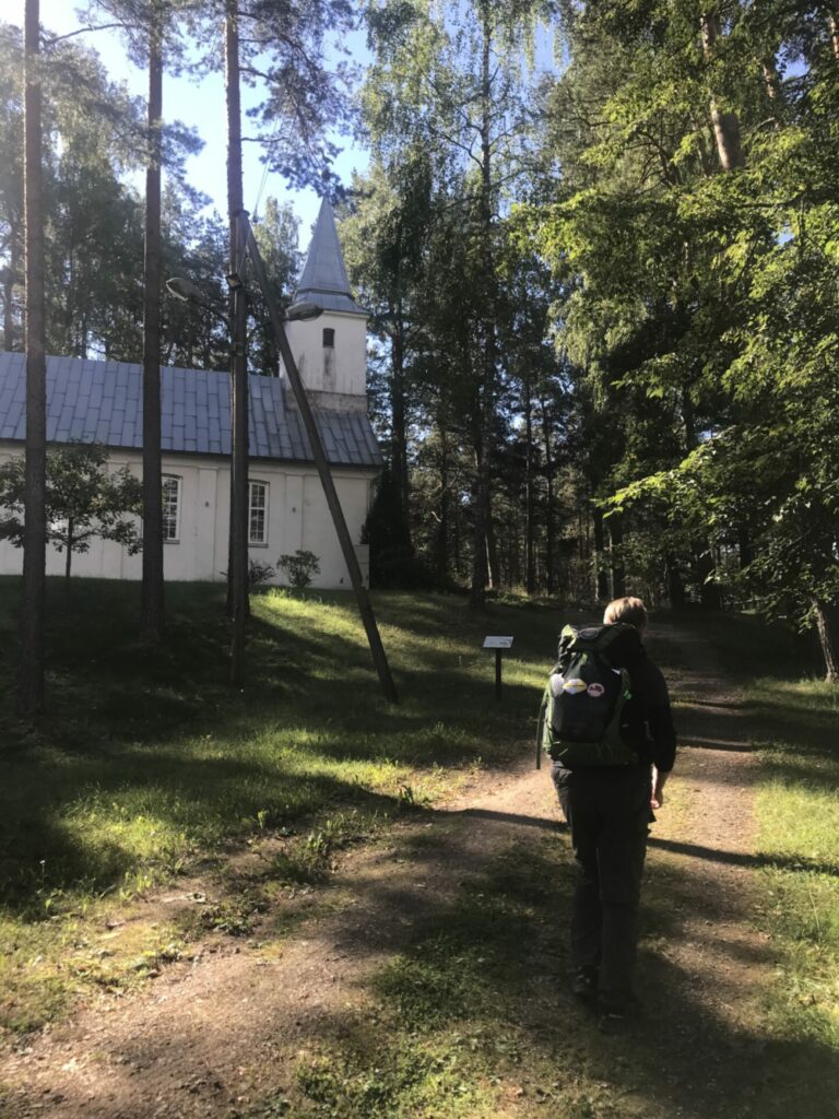
Unlike Āņi, the buildings here are spaced further apart, the asphalt road approaches the river Gauja and then leads us around a horseshoe-shaped lake. Then it leads along a horse farm, along another farm built in the style of a la historicism, until it finally takes us to the centre of Garkalne village with a bus stop, notice board and a church.
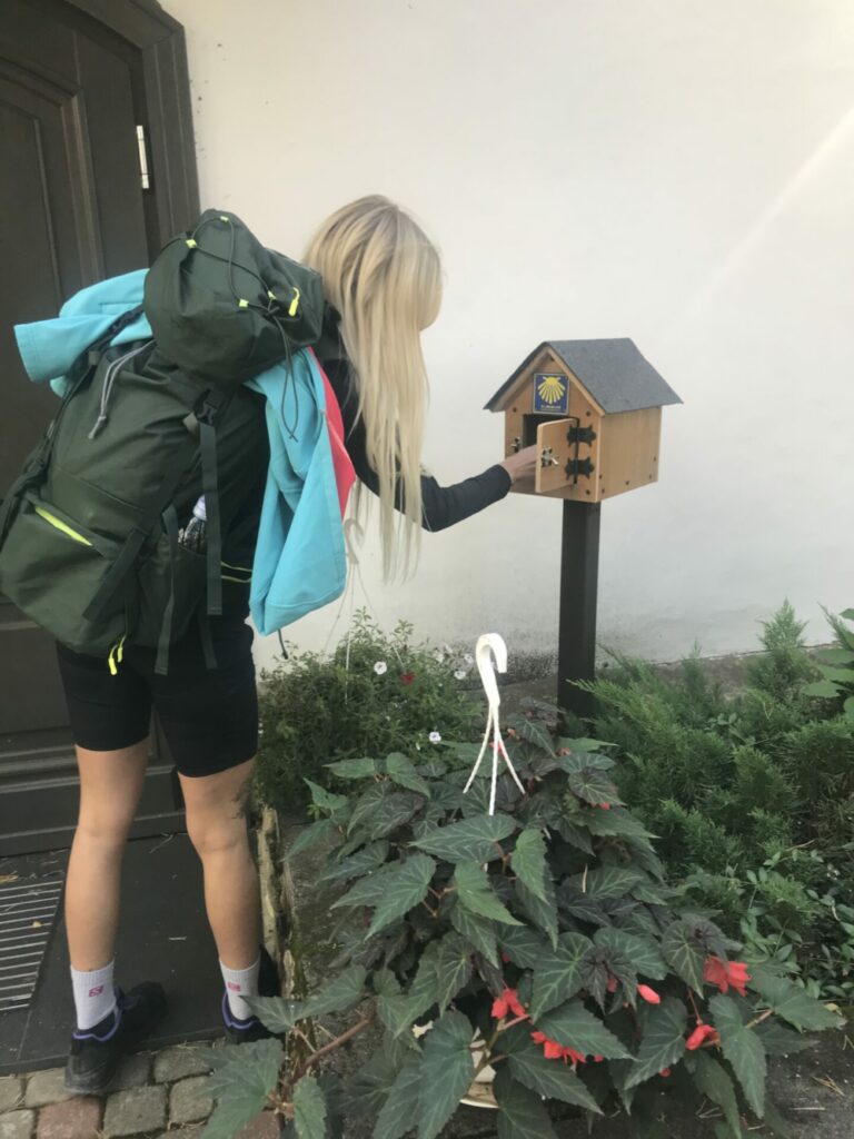
We can rest on the hill of the church (at the doors of the church there is a special box where is a seal of Camino to stamp your pilgrim’s passport) and afterwards continue along the asphalt road. This time though we don’t have to follow the asphalt, but we turn right after approximately 500 meters, after the bus stop. We turn to the Ošlauki road. The gravel country road leads us through the meadows, fields, and farmsteads. After two and a half kilometres we reach an asphalt road and turn right.
The asphalt road leads us to the Baltezers canal. Then it goes along the canal for a while until it turns right and crosses the canal over a bridge. We also cross the canal and enter Ādaži.
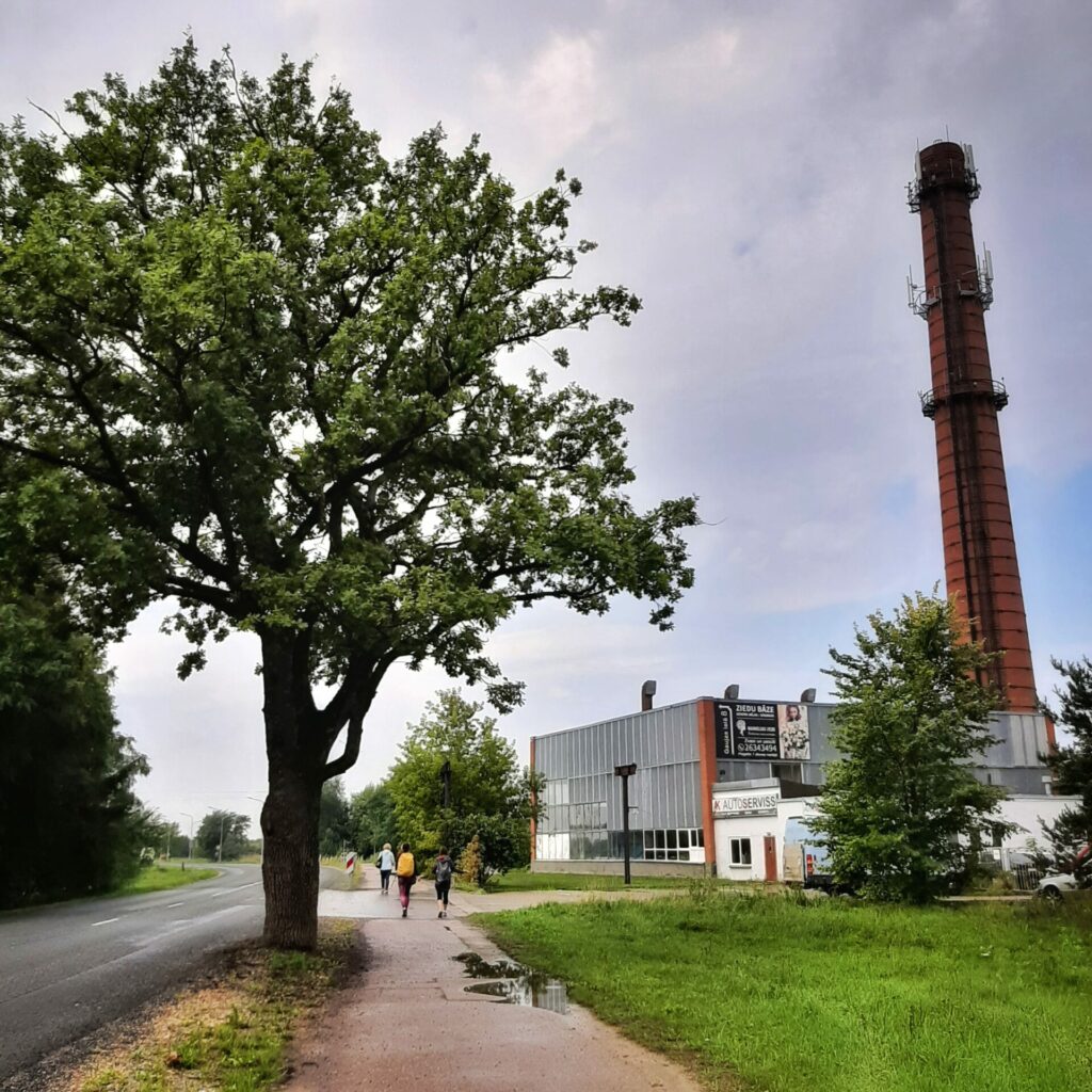
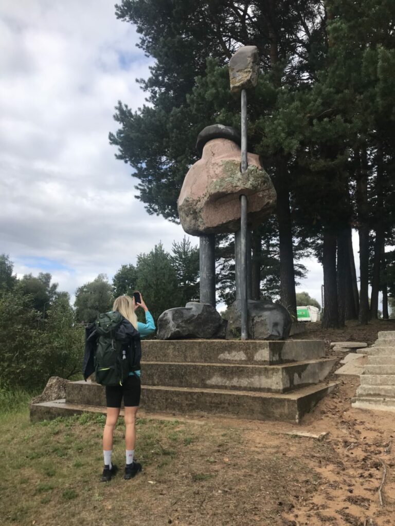
The Podnieku Street leads us further behind the building with a giant chimney turn right and continue the way down Krastupes Street. After crossing Ūbeļu Street a multi-floor residential home remains on the right, a water body – Vejupe river is at the left. In about 400 meters go to the left, along the main street (Dadzīšu Street). 30 meters later, we turn again to the left on Vēju Street in the residential district. Along the sandy Vēju street, we continue to walk straight until it strikes the fence of the private area, turns a little to the left, and immediately to the right continues down the Vējupes Street. At the sign “Vējupes Street 50” turn to the left. Along the home of the “Dāboliņi”, we continued through a beautiful forest path to the gates of the next private house. There is a path along the fence itself in the woods, along which we come to the coast of the water body. We turn right and go straight until the Ādaži beach and the Kontiki bar have been reached. It can be place for a tasty luch. If we don’t need to rest than go straight across the beach in the direction of the stone sculpture Plostnieks, along the other restaurant, Mario Pizza & Pasta, until we go to Gauja Street. Slightly right at the Ādaži City Council building, there is a pedestrian passage where we cross the street. On the left, can see a circular intersection and after that is the Centre of Ādaži with many shops and cafes. Or walking further down Gauja Street to Riga Drive, then across the highway along the pedestrian bridge, continuing down Inču Street, Atara road to Zelta Street – can reach the Vija’s house, possible place to stay overnight.
But we continue our path, passing Ādaži City Council building. There is a small square next to the building and we can already see the Gauja dam/mole with a path leading up to it. We climb up to the dam/mole and for the next 6.5 kilometres we walk along the footpath on the dam/mole. No intersections, no turns – we just walk along the dam. In about 4,5 kilometres we pass the start walking trail “Zvaninu cels”. The last one and a half kilometres of the footpath on the dam is a wide, gravel road along the surface of the dam.
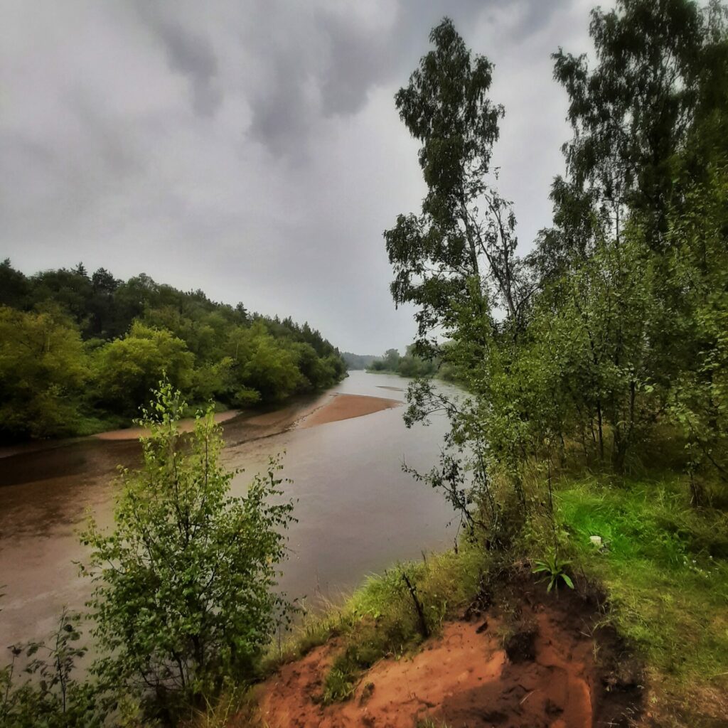
Shortly before the highway Via Baltica (A1), a trail branches off to the right from the gravel road, leading into the forest to the riverbank. We walk along the path that takes us to the Gauja river along the highway and further underneath the bridge to the other side of the highway.
On the other side of the bridge, we enter the territory of an uninhabited guest house, but we do not stay there. We cross the yard and go to the coast of the Gauja river, where a path leads along the river.
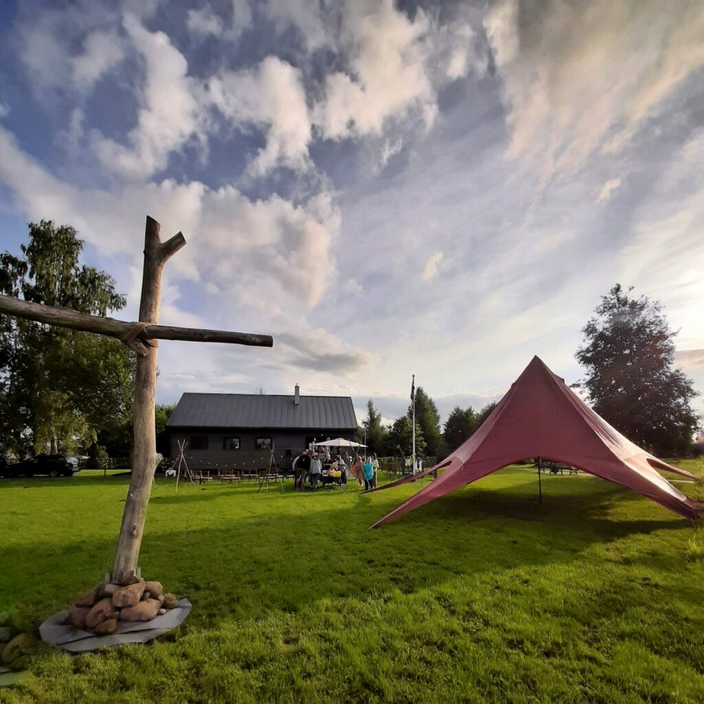
The path along the Gauja river leads through a simple rest stop and soon takes us back to the Gauja dam/mole, along which we continue our way. Next kilometres no intersections, no turns – we just walk along the dam. The trail goes along the private houses of Carnikava and after 3 kilometres reaches a railway bridge. We reach the other side of the bridge and railroad by going underneath it and immediately turn to the left. There is a parking lot at the railway embankment. We can also see a lawn with a small, grey house made out of wood. It is the Carnikava Boat House, where the local Evangelical Lutheran Church has arranged its home after the original church in Siguli has burned. Here in the Boat House, it is possible to stay overnight as well as stamp your pilgrim’s passport, the stamp is located in a small box/house in front of the doors.
The stage is happily finished.