Cēsis – Līgatne


Cēsis – 9 km Rakši – 5 km Zvārtes iezis – 8.5 km Skaļupes – 3.5 km Līgatne
Stage consultant – Vita, WhatsApp or SMS, +371 25917702, e-mail: vitinja23@inbox.lv
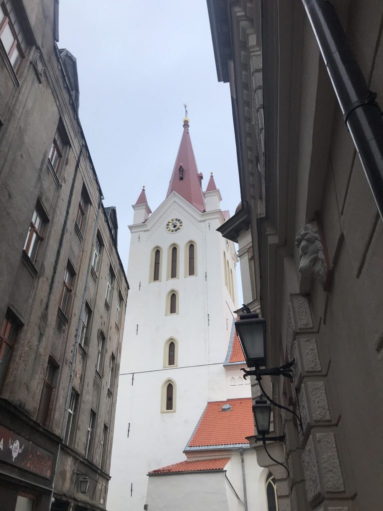
The stage starts from St. John’s Church in Cesis. We walk across the Rožu Square to the street of Lielās Katrīnes. As we cross Palasta Street, we continue to walk down Berzaunes Street, which later moves uphill. We turn left on a hill bend, but a few metres later we turn to the right to Emila Darzina Street. Before Gaujas Street, we turn right to Dzirnavu Street and 300 m later again right to Jekaba Street. Let’s go straight and about 500 meters later Jekaba Street turns left, down from hill. We continue down Forest Road, or Jekaba Street, until we reach some of the houses that remain on the right, but the road sweeps to the left again. 1.2 km later, when Jekaba Street ends at a T-junction, we turn left and go to Peldu Street, continue straight till Gaujas Street, where we turn to the right.
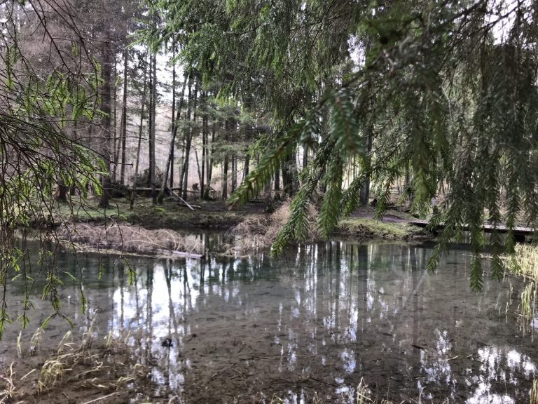
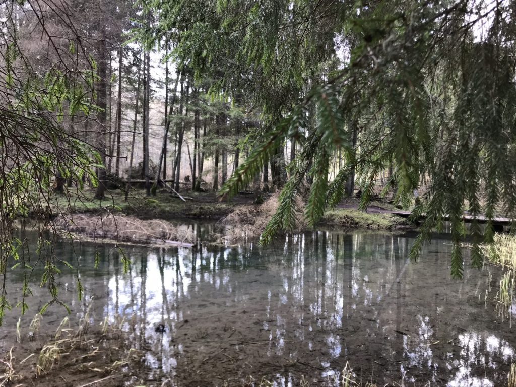
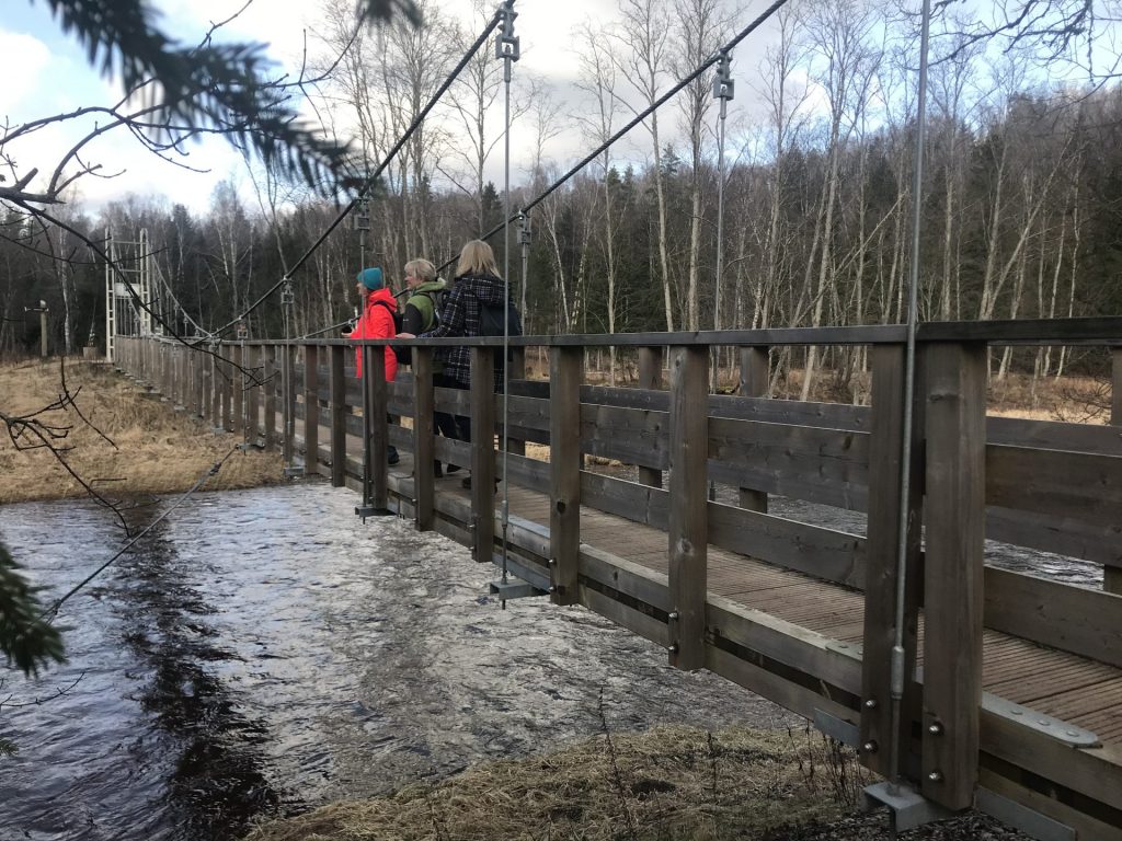
Just before the Gauja Bridge, we turn to the left on Murlejas Street, along which we go until the Žagarkalns boat campsite. In the far-left corner of the campsite parking lot, a path starts with the direction indicator “Spogulklintis 10 min”. We walk this forest path along the river Gauja. After about 500 m, we hold to the left as the path splits. We soon come to the Old River of Gauja, where the rocks are beautifully mirrored in the water, and a little farther to the left is Dzidravots, but our path turns to the right. At the next crossroads, we choose the direction “Ozolkalns”.
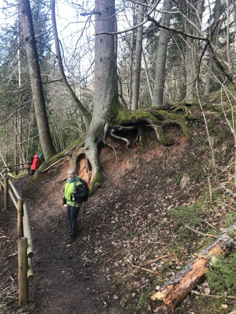
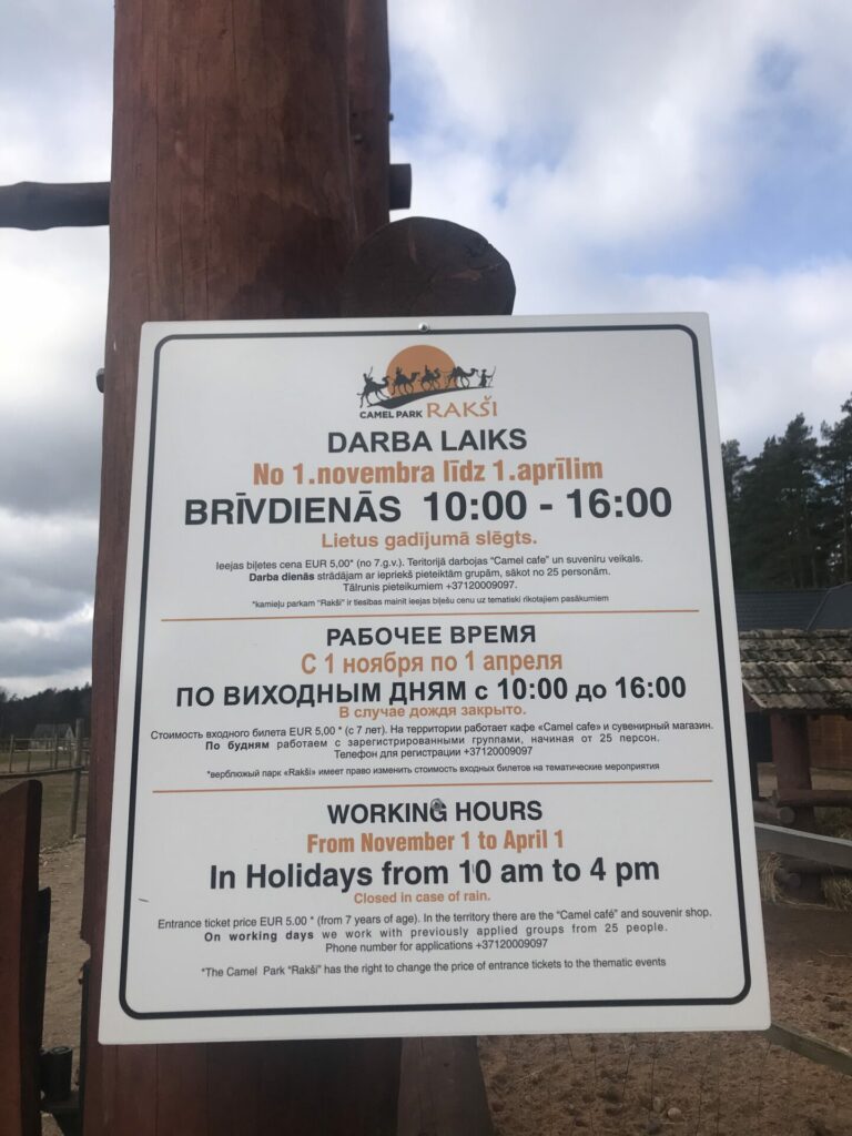
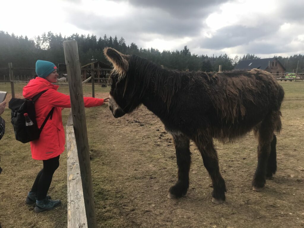
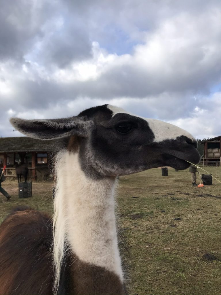
After 600 m in the “Ozolkalns” campsite, we choose the way up the hill along the camping lodges. We walk down a beautiful forest road for the next kilometer until we reach a larger asphalted road that we turn right down the hill. Along this road, after 1.5 km, we reach the camel park in Raksi. Here’s both a café and a hotel, and you can look at camels, llamas and alpacas.
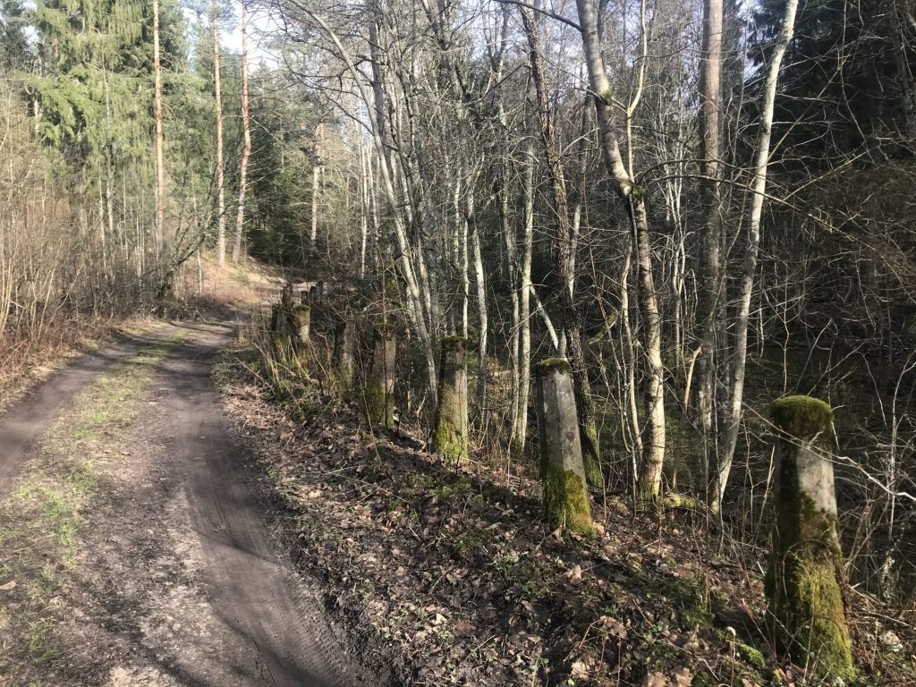
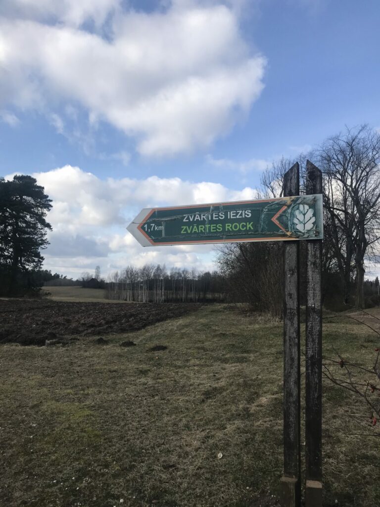
We keep our way down the forest road over Raksupe. We will take the next 3 km without cutting this road. When forest ends, country farm open to our view left from us,but continue straight, the road joins the other rural path, we turn left. Walking just past a large and old farm on our right side, we come to the main road, which we cross a little to the right, and turn to the left in the direction of the mark “Zvartes iezis 1.7 km”.
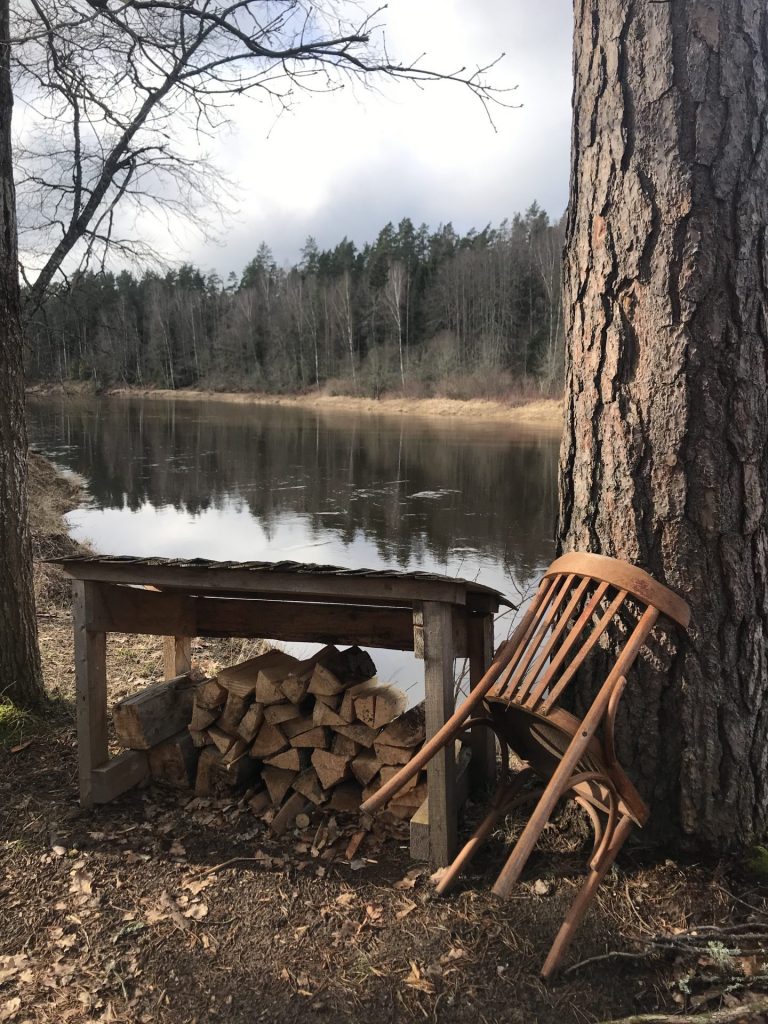
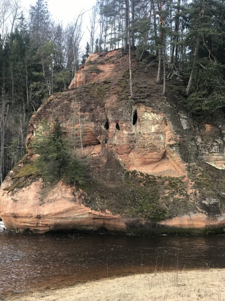
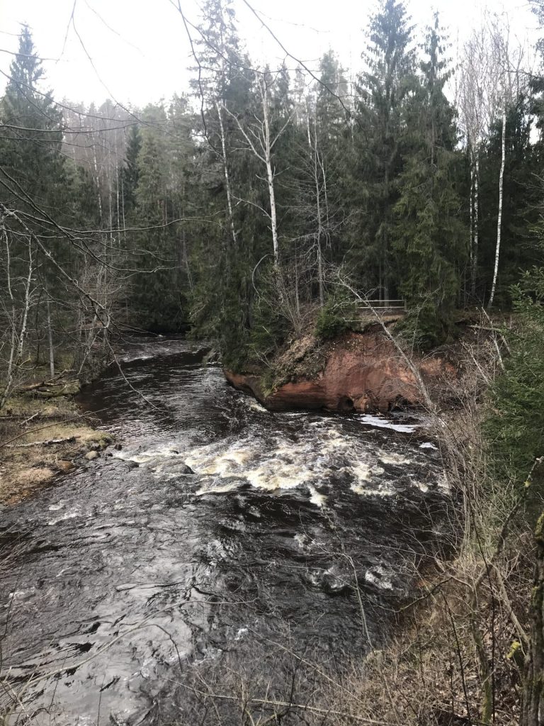
Cross the parking place Zvartes Iezis, what remains on the right side of the road going over it. Here you can use facilities. We pass the Info Center Cottage along the front and turn right. We walk straight up to the viewing area of the river Amata from which you can watch the beautiful and the majestic Zvartes rock. Then we move right and down the path to the bridge of the river Amata, which we don’t cross, but we keep walking straight, past tables until we reach the beginning of the nature trail of the picturesque Amata River. We climb small stairs and walk 2.5 km down the path. At the end of the path, we arrive at the boat campsite, clinging to the right. We can also relax at tables here. We walk out on the road and turn left across the Amata River.
Along this road we go the next 4 km until we arrive near the village of Ligatne rehabilitation Center. Let us not miss the moment when, on the bend of the road leading to the left, we have to walk straight down the outer edge of the metal enclosure of the tarmac street for a few metres until we get to the old tarmac road. We’re just going straight. We pass the multi-floor residences that remain on the right. We soon reach the “Skalupes” rehabilitation center, where you can get a stamp in pilgrim’s passport, have a meal on working days from 8-17, and also stay overnight. We return to the road we came down and walk forward to reach the barrier. Turn to the left before the barrier, down the forest path. The main path walks closer to the metal fence, walking down it to the bridge across the creek, crossing the bridge and walking up the hill turn to the left. As the path splits, we follow the direction “Ligatnes pilseta 3.5 km”.
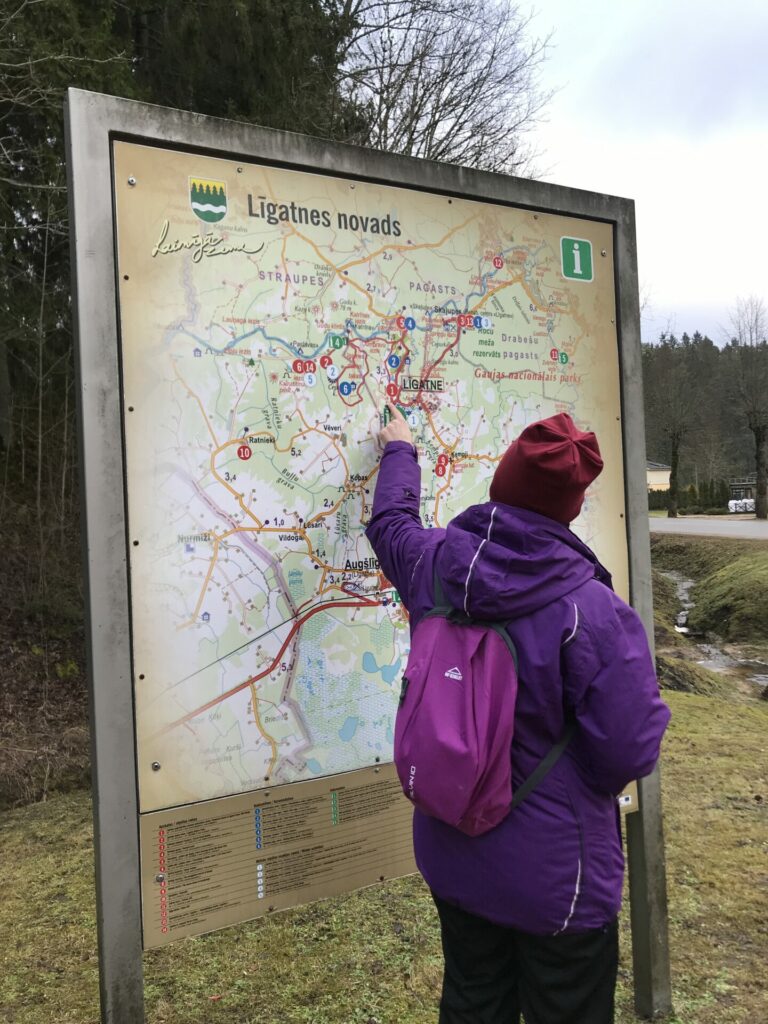
We stay on the main path until it ends on the road. On the way to the right, we soon walk into Ligatne. We continue along the main road, Cesu Street, which later turns a little to the right on Springu Street. As we come down the hill, we are in the historic center of Ligatne, the Ligatne Town Hall remains to the left of us. This large red brick building also has a library and a pub called “Pie Jancuka,” where you can have a warm meal at moderate prices. You can get to this cafe both by descending small stairs from the front of the building and from the back of the building, or from the side of the river. But on the right side of the street is the Ligatne winery shop, where you can also enjoy coffee, tea, mulled wines and Ligatne ice cream. We continue along Springu Street until we reach the Ligatne Tourism information Centre, which is on the left side of the intersection of Springu and Brivibas Street and where I is possible to receive a stamp in pilgrim’s passport at working hours of Tourism information Centre. We’ve finished. There’s also a shop called Lath and a family restaurant called the “Vilhelmīnes dzirnavas”, which can also have a warm meal.