Līgatne – Sigulda


Līgatne – 11 km Gančauskas – 16 km Sigulda
Stage consultant – Vita, WhatsApp or SMS, +371 25917702, e-mail: vitinja23@inbox.lv
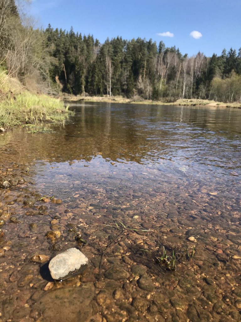
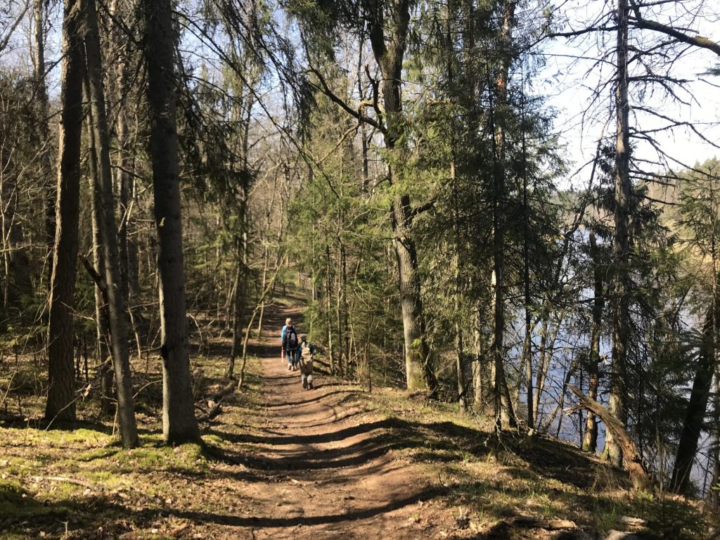
This 27 km stage Ligatne – Sigulda begins at the Ligatne Tourism Information center. The stage leads through the Gauja National Park, therefore most of the time will enjoy forest trail along the spectacular coast of Gauja river.
It is recommended to ensure sufficient water and food supplies while in Ligatne as there will be no possibilities later.
This stage partly complies with popular walking and cycling trail from Sigulda to Ligatne, so time by time there will be a sign with a symbol of a man that is walking in the opposite direction.
To start we turn right to the Brivibas street from the Ligatne Tourism Information center, walk along the Ligatne river to the entrance of former Ligantne paper mill. Before the entrance turn left upward the hill to the Gaujas Street. Turn right on the Gaujas Street and after 1,6km when the Gaujas Street sharply turns to right we turn left on the Darza Street as indicted by the sign Līgatne Nature Trail. If a shop is needed, continue to walk straight down Gaujas Street, where after, about 300 m, it will be on the left side of the street. This is the last chance to replenish your water and food supplies. To get back on the road, these 300 m have to come back. When road splits in 250m, keep right on the Jumpravas Street.
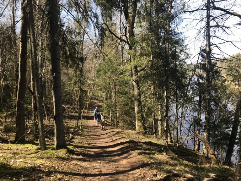
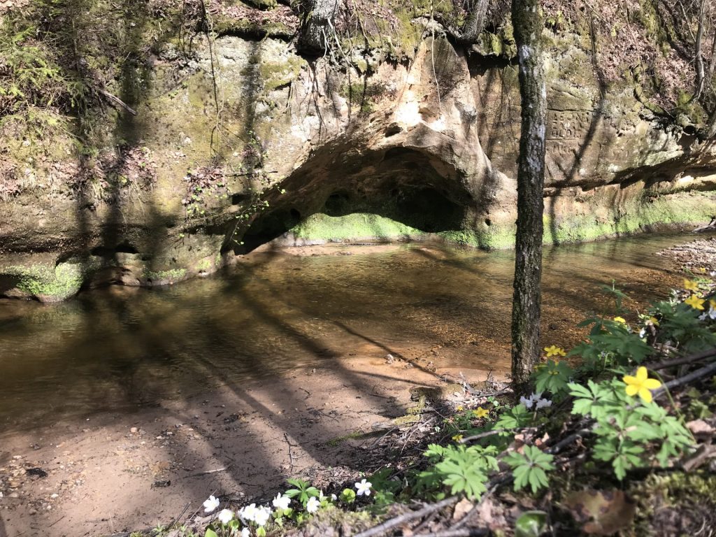
In about 1,4km turn right on forest trail into the forest. In 300 m arrive at the appointed camp site for boaters “Katrinas” where are the amenities and site for a break. Continue the road and very soon from the bank of Gauja river we can see a nice view to Katrinas cliff opposite the river. Walk the trail right along the Gauja river for next 1,5km crossing a small river through a small handmade bridge at the last resting place. We keep going straight down the path. As the trail branches, we turn right, walking onto the “Botanikas taka”. Here, for clarity reason, the birdcage is marked with two signs. We continue along this forest path until it comes out into the meadow. Here we turn left, continuing along the “Botanikas taka” until the trail exits on a tarmac road outside country houses. Here we turn left and in a few meters to the right, and join the asphalted road. Continue straight on this road which soon turns into an unpaved road. Proceeding forward on the right side of the road there will be the Gauja river again.
After 1 km a trail that leads into the forest splits off the road. Turn right and follow this trail. It will take us to the Gauja river again and will walk along it for a while. On the way there will be an appointed camp site with an outside toilet. Will have to cross a small bridge (which may be flooded during the pals) and climb a steep stair.
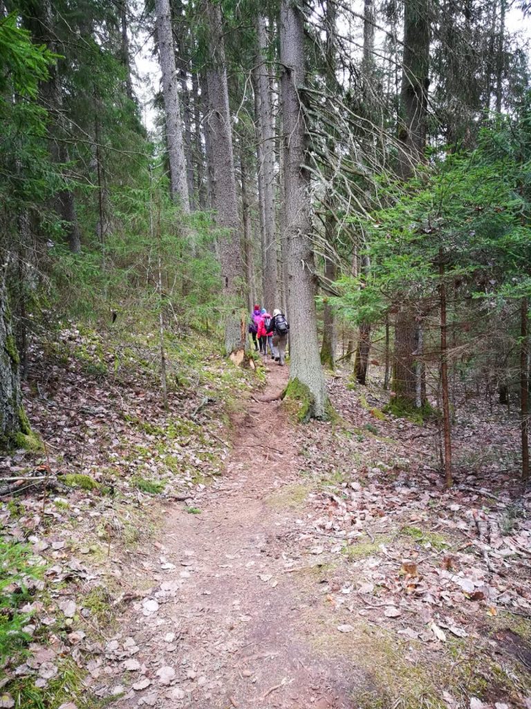
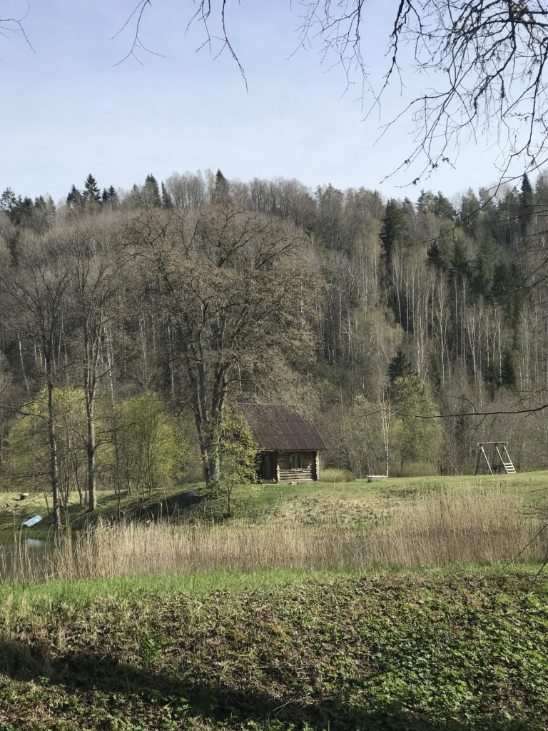
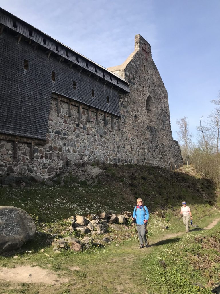
After 3 km the forest trail will bend to the left in a 90-degree angle and will exit the forest area at the Christian Retreat Center “Gančauskas” where accommodation for pilgrims is possible as well as possible to receive stamp in pilgrim’s passport. Continue along the unpaved road for almost 2 km passing by a farm house. Soon the road splits and we turn right to road that leads into the forest. After 50 m at another crossroads take the right turn – follow the sign that states there are 9,5 km left until Sigulda.
Continue straight for 500 m until the crossroads where turn right onto a different road. After 300 m in the next crossroads turn left on a forest trail. Continue on this trail. In about 1,2 km the trail bends left to bypass the country farm and crosses the road leading to farm. Continue on this trail for a while bypass the country farm and cross the road leading to it.
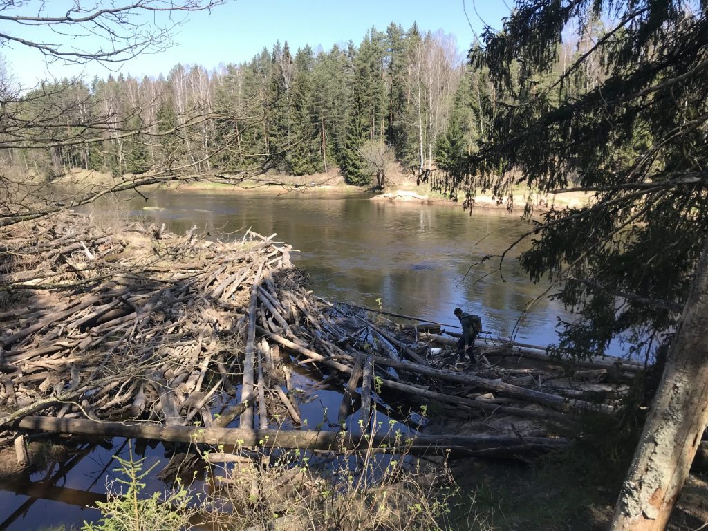
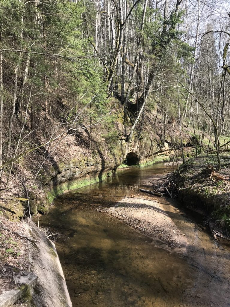
The curved forest trail will take you to a wooden bridge across a narrow river in 1,5 km. Cross it and arrive at camp site where are tables and benches, place to set fire, wooden shelters and outside toilet. Continue on a trail beside the forest away from the Gauja, cross a gravel road and proceed on the forest trail. After 600 m the trail will end and you will step onto a gravel road. Continue straight on this gravel road beside the Gauja river. In 2 km the road leads across the river along the country farm on left from us. Continue on the road for 1,1 km and then turn right on a forest trail along the Gauja river.
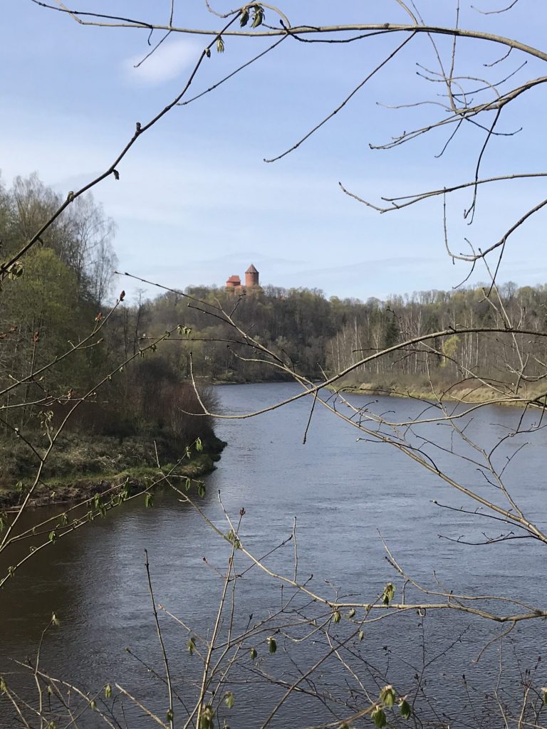
After 500 m the trail ends and in the crossroads with an unpaved road – turn right. In 1 km cross the bridge over the Vējupīte river as indicated by the sign “Tilts pār Gauju”. The road bypasses the rest area “Vējupīte”, across the river can see the Turaida Castle. It might be that in summer there are wild cow pastures in the grasslands behind the rest area.
Proceed on the trail along the Gauja in a direction “Tilts pār Gauju”. When reach wooden stairs that go up the hill to the left. Go up these stairs and proceed the trail. When arrive at the sign “Tilts pār Gauju” 270m there are another wooden stair up the hill and a direction sign “Krusta kalns 320m”. Here turn left and climb up the hill.
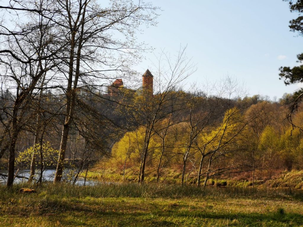
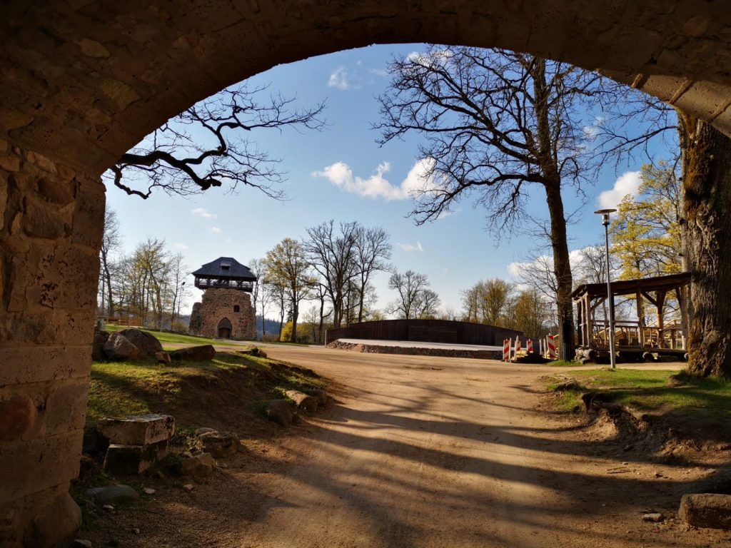
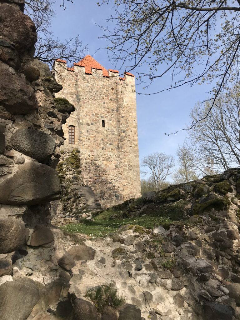
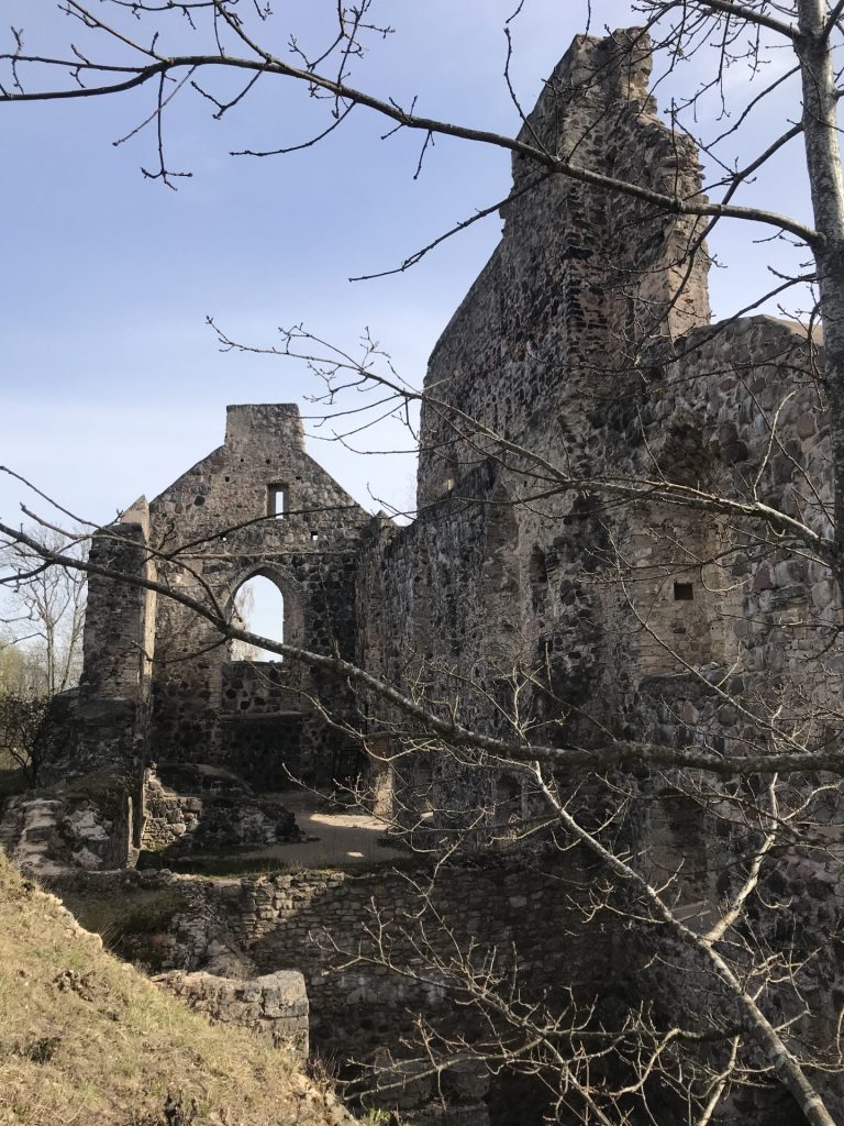
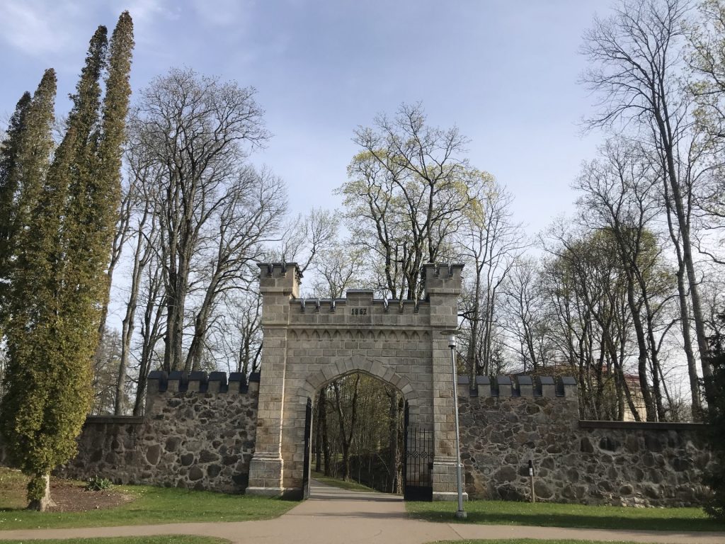
Cross the Krusta hill and start down the other side till the next crossroads where take the left turn to go up to the Livonian castle from the side of the mound. On top there are the ruins of the Livonian castle as well as a cafe. Continue by the pedestrian bridge and across the Jauna Siguldas castle (New Castle of Sigulda). Head through the park towards the splendid castle gate. In 100 m after the gate will arrive at park. Continue to the pedestrian track directly to the Sigulda Evangelical Lutheran church.
Passing the church continue straight and after crossing the Cesu Street turn left on Raina Street. Walk this street for next 800 m till it ends at the Ausekla Street what we cross at the pedestrian transition. To our left is Sigulda bus station and in front is Sigulda railway station. To the left from railway station is the pedestrian transition what we use to cross the rails. After crossing the rails turn right and in 70m turn left to Raunas Street. Another 250 m on the Raunas Street and we reach The Catholic Church of Sigulda where is the end of this stage.