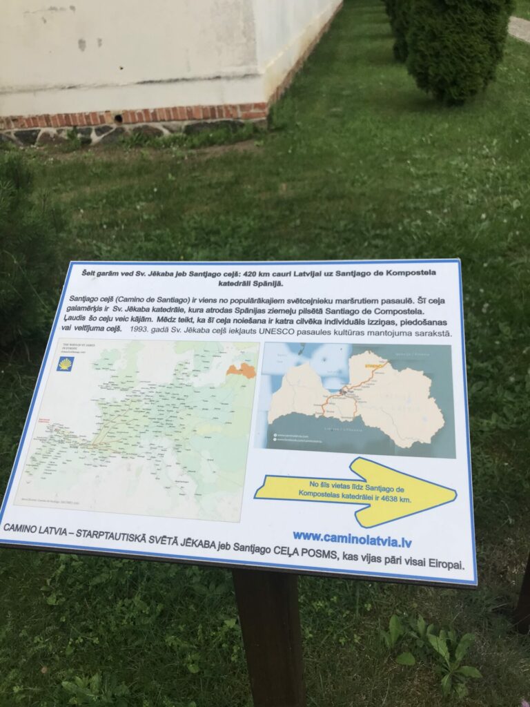
Turna – Strenči


Turna – 17 km Jērcēni – 12 km Seda – 5 km Strenči
Stage consultant – Rita, WhatsApp or SMS, +371 29112999, e-mail rikenigs@gmail.com
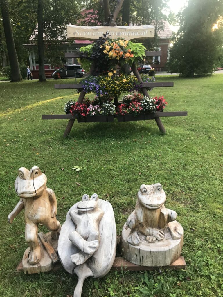
The only accommodation in Turna is in the Cultural Center of Turna (Turnas Tautas nams) located in the center of Turna, next to the bus stop.
This stage will mostly be rural roads. If we feel determined and strong, the day should start as early as possible, so that the end of the stage through the swamps of Seda could still be at light time of the day.
There is an alternative option which is 10 km shorter – going straight to the Strenci without passing through the swamp and Seda.
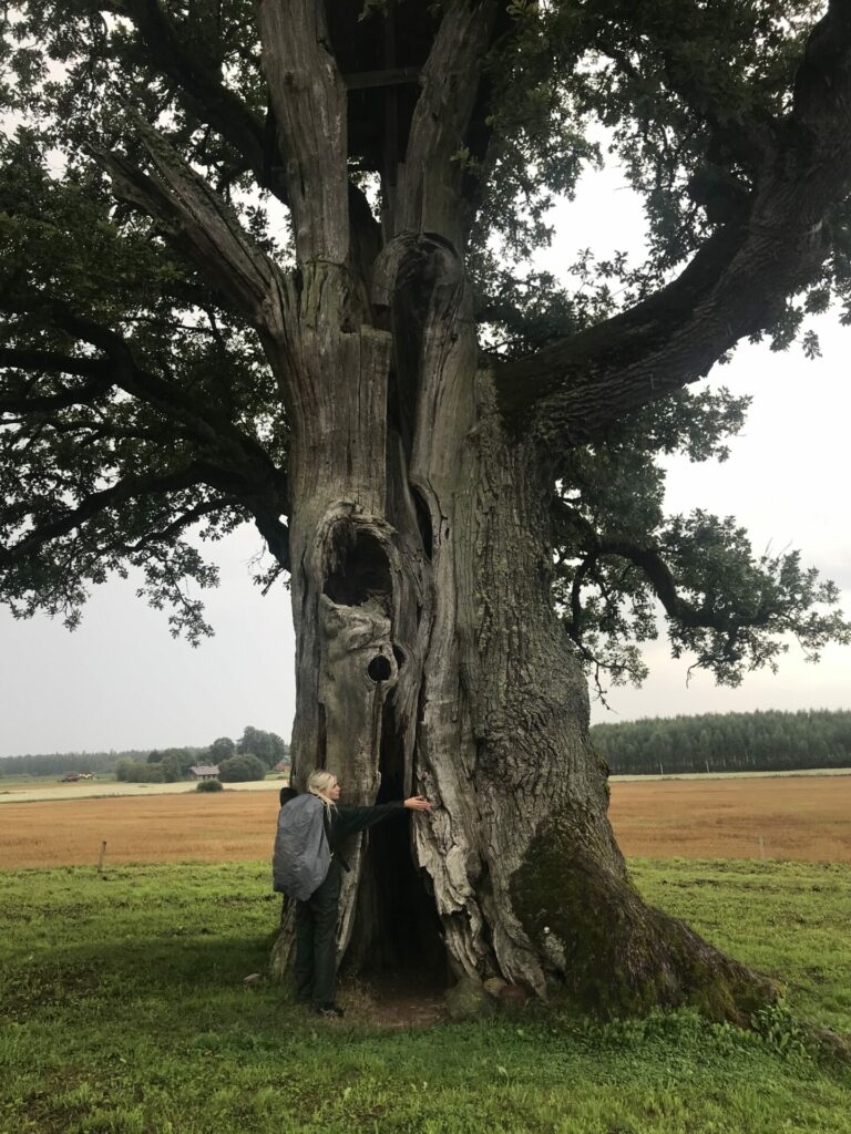
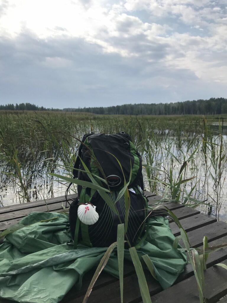
From the Cultural Center, we go left in the direction of the stadium, past the swings. After 500 m on the left side there is a nice beach with a changing cabin and a picnic area on the shore of Lake Valdis.
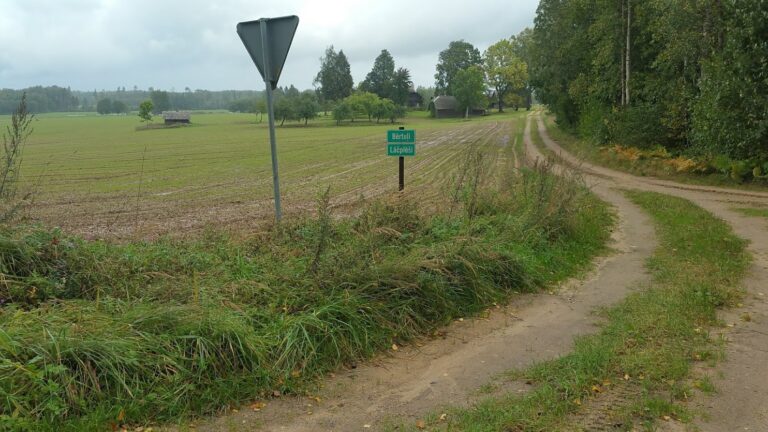
Further down the road after 800 m we turn right at the V crossing and then after 100 m to the right again. When we reach a more important road, we turn to the left. We continue the winding road along fields, houses, pastures. After 1.5 km, we continue straight, past the bus stop NARINAS and property ZAĶI. Going on we will pass properties JAUNRŪĶI, MAZRŪĶI, VECRŪĶI, and the lake RUKI is hidden on the left side of the road.
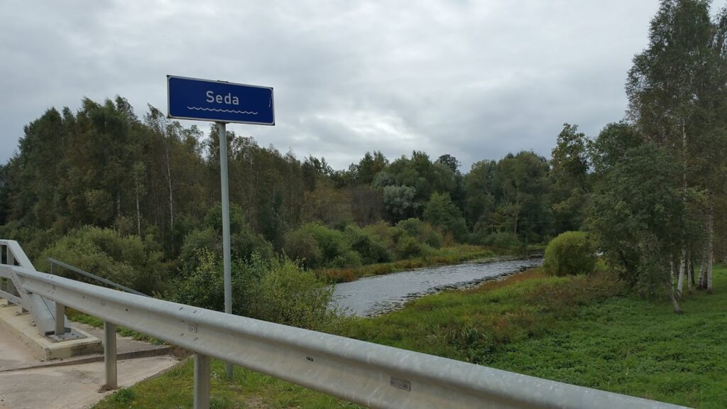
After 3.5 km when we reach the intersection, we turn to the left, where the sign indicates Daksti 3 km. At the crossing we follow the road towards the Daksti. We cross the Seda River and walk into the municipality of Burtnieki.
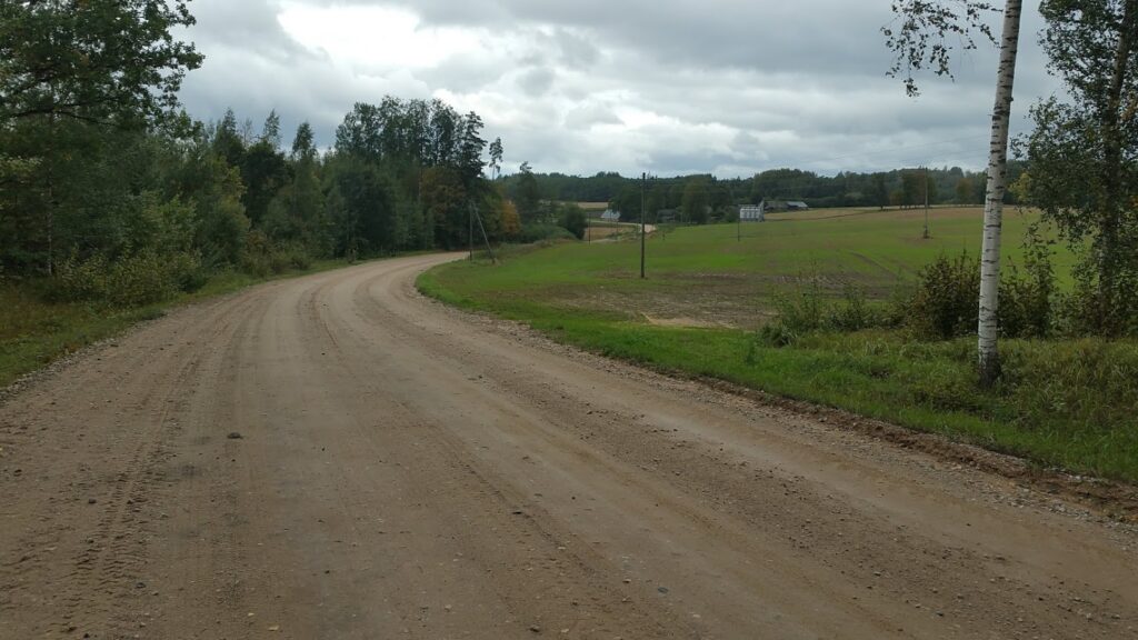
At the V crossing, we go to the left in the direction of the Ēvele. After 3km, followed by the next V crossing, follow the direction to Jerceni.
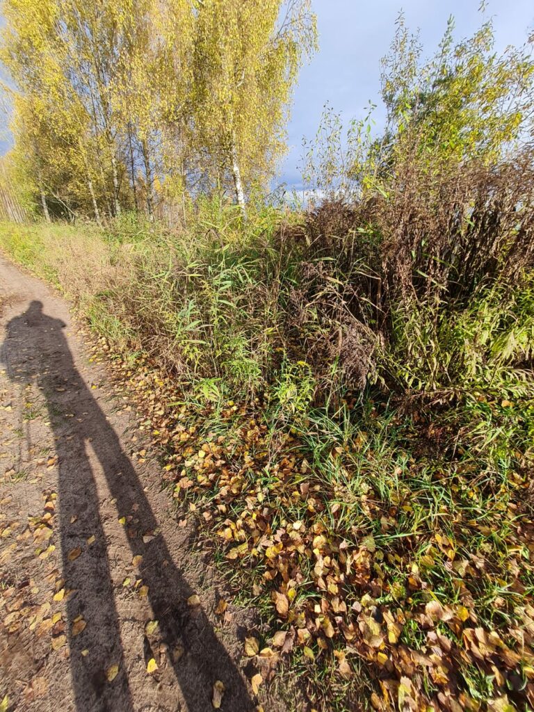
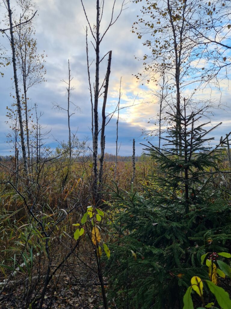
The next 6 km will walk along a straight gravel road where on the left side we can watch bird assembly sites in the swamp area of the Ziemelvidzeme Biosphere Reserve. At this stage of the road, should be careful as cars can drive at high speed as the road is absolutely straight.
After crossing Sunupe we enter the Strenci municipality. There is a bus stop, park and manor in Jerceni.
Here we have to decide whether we go directly to the Strenci or choose the longest and most exotic way through the swamp and Seda.
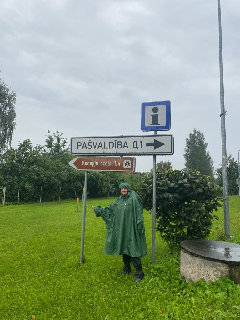
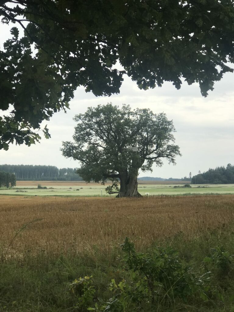
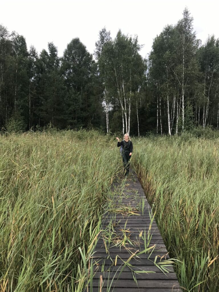
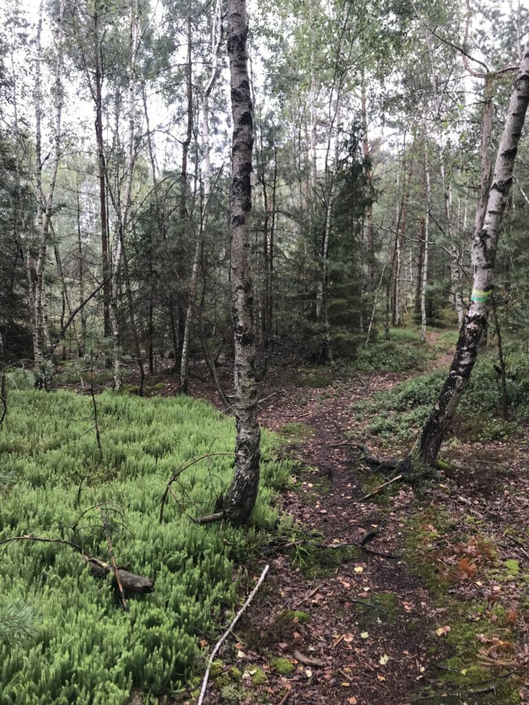
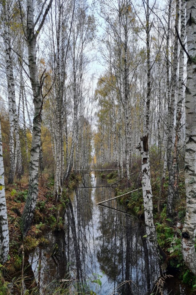
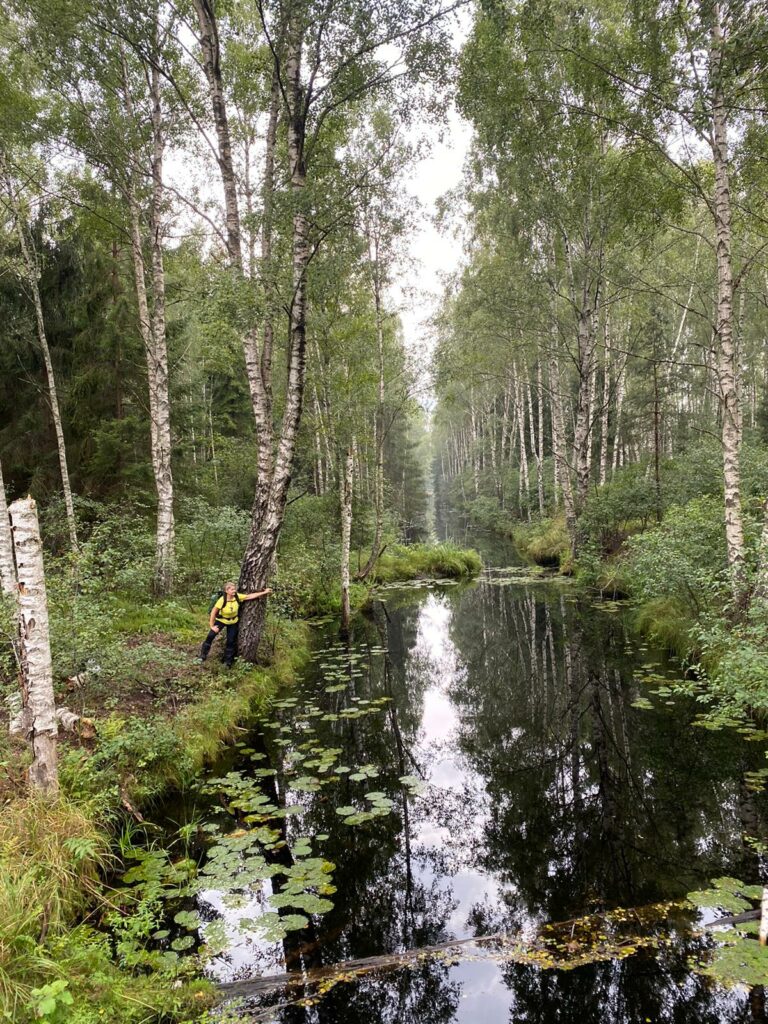
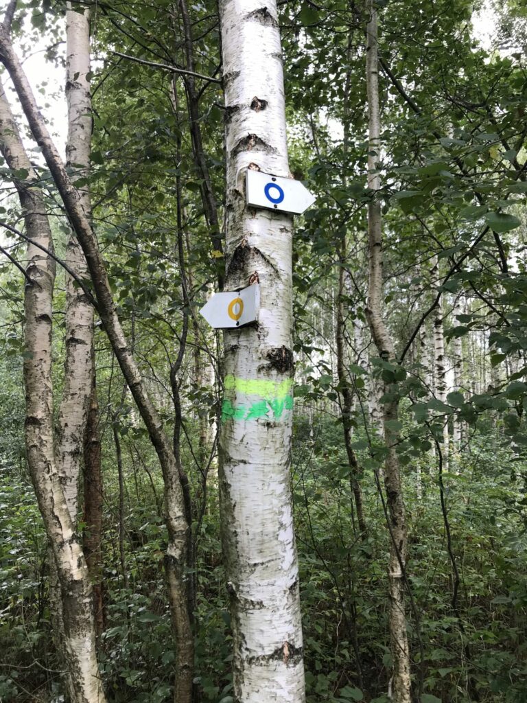
If we chose the road through the Seda swamp (road description for the alternative will be at the end), then at the intersection of central street we follow the sign “Kaņepju ozols 1,4km”. In 1 km, follow indication to the right “Sedas purva dabas taka 2,4 km.” (Nature trail of Seda swamp 2,4 km). The next sign to the right – “Seda swamp trail 800 m” what is marked with a yellow circle mark on a white plaque. At the beginning there is a ditch with water on the left side of the path, after passing stand of spruce-trees, come to the dock at the bank of the lake.
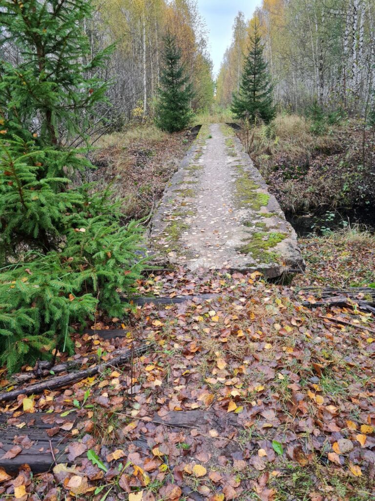
A place to rest with a table and bench. We go along the lake to the right, along a narrow path, towards the direction of “478”. We hold on a trail marked with yellow circle until we reach a used to be narrow-track railway and a concrete bridge over the river. After crossing the bridge, we will be at the intersection of the trails – straight goes the path with a yellow circle (this is continuation of Seda swamp circle in a direction to Jerceni) to the right is the path indicated with a blue circle (direction to the Seda of Seda swamp circle). We go right in the direction of Seda.
At the end of the swamp trail, we come on a wide, quasi-cycled, muddy road. During the rain, this part is a real test. We keep to the right when road splits.
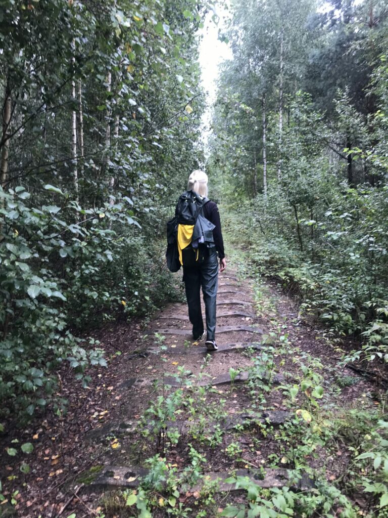
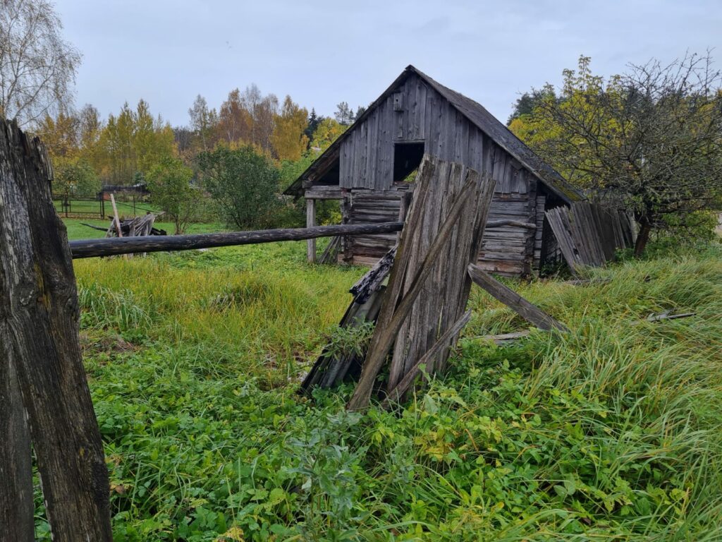
Behind the swamp, an abandoned, collapsed homes and allotments. We cross the place where once was a railway, the old stop-point still remained.
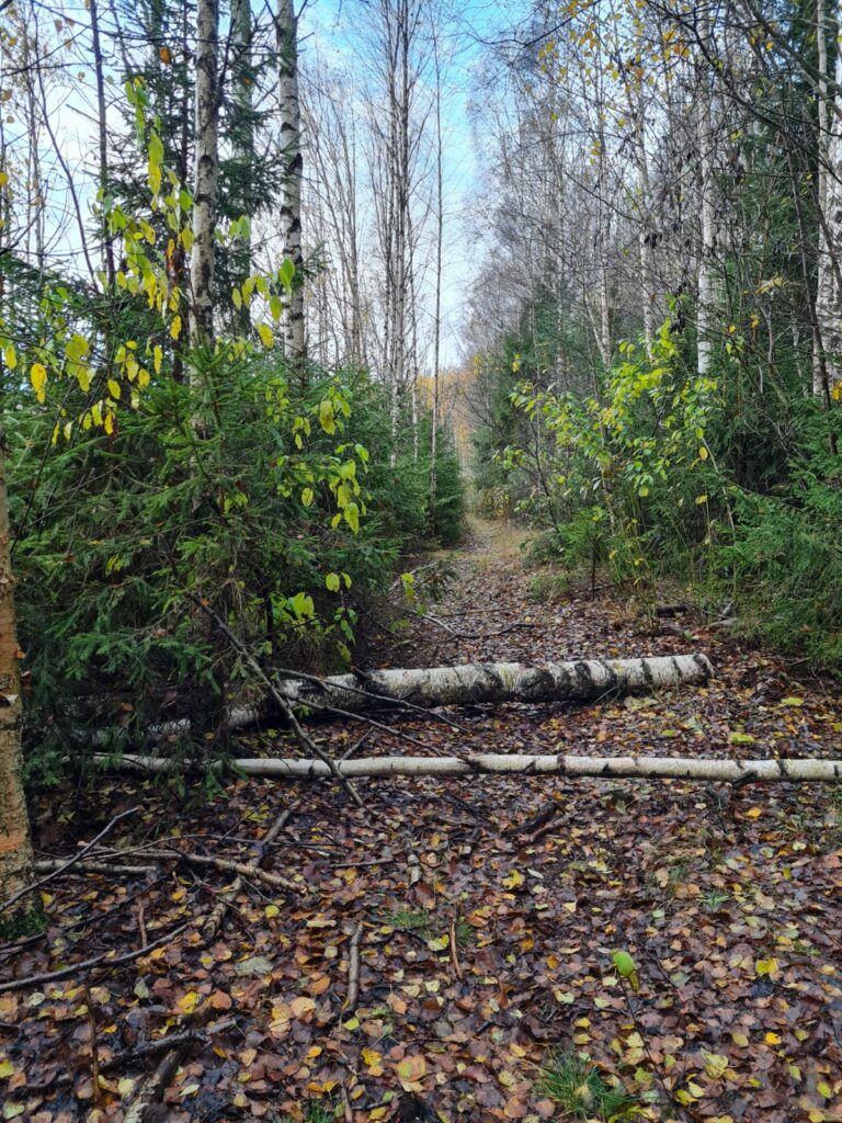
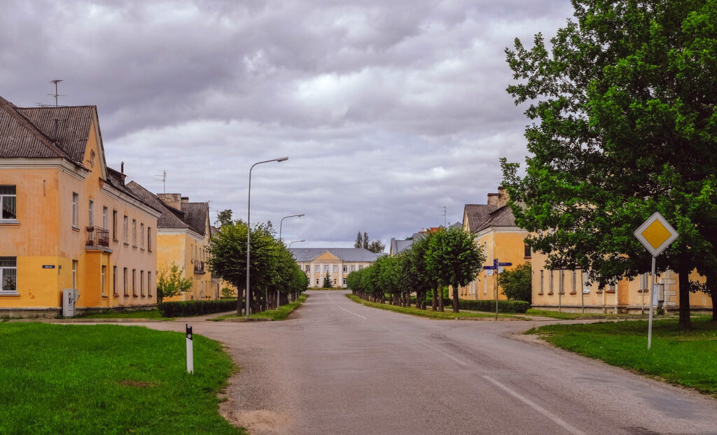
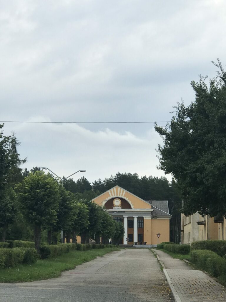
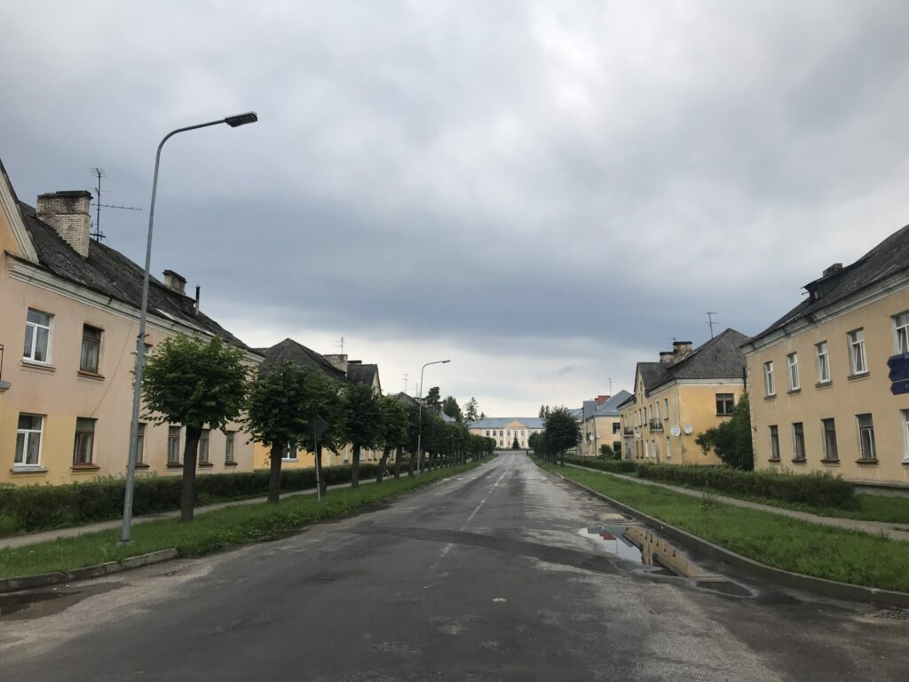
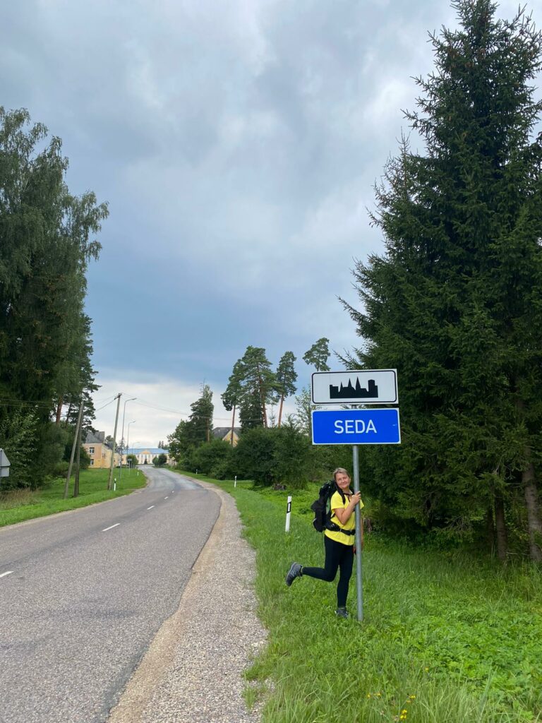
The road leads into a town alley where the same-looking Soviet houses are arranged in 2 lines. We go through the alley to the center circle. The town has a bus stop, post office, coffee self-service point, 2 grocery stores and library. You can rest little bit in library and get new stamp. After center circle please go straight down the Miera Street, continuing our way to Strenci. Just before the railway, we turn right on a lonely road that passes the area of peat refinement, an abandoned Soviet-time home. After 3 km, we reach next railway crossing, where we see a white private house on the right.
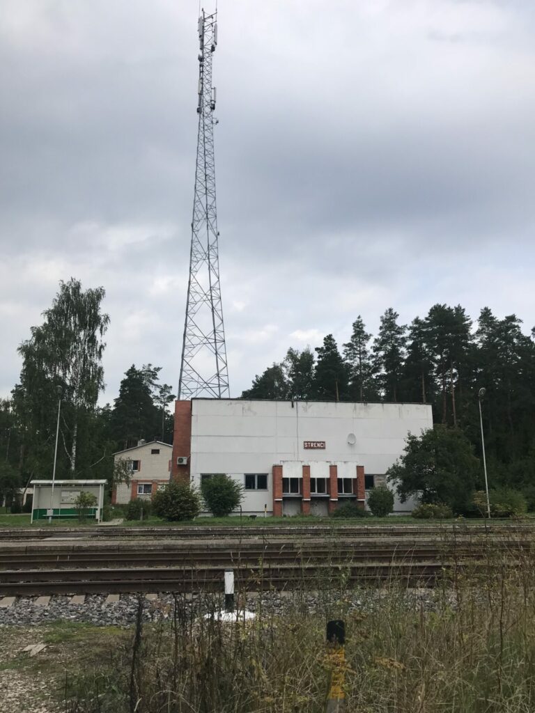
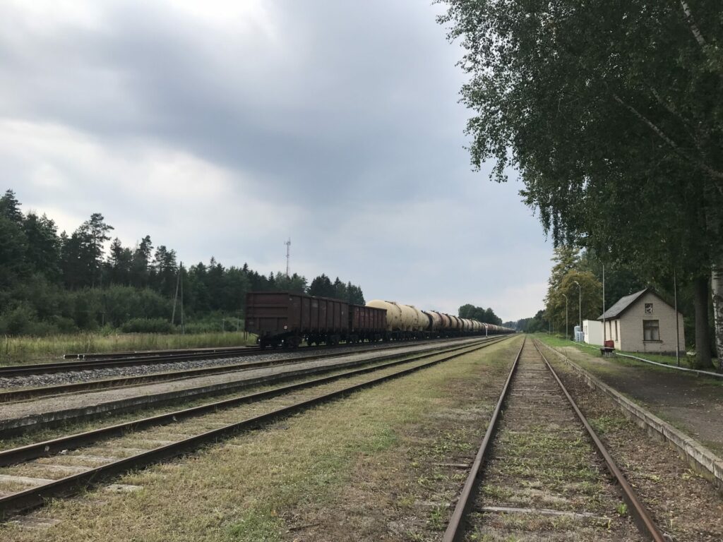
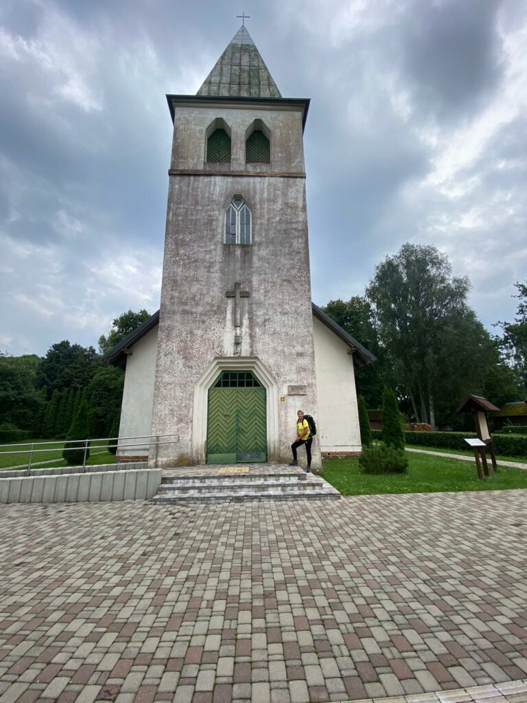
Before this house turns to the right on the gravel road, which follows closely along the railway to the Strenci railway station. We cross rails here, continuing down the gravel road to the right. After 500 m at the crossing, we turn left on Trikata Street, continue straight, at the next intersection with Raina Street, go right and reach end of this stage at the Church of Strenci.
The alternative. If we wish to reach Strenci more quickly, than from the center of the Jerceni we shall continue straight till the sign “Jērcēnu akmens 1,2 km” (“The stone of Jerceni 1.2 km”). We go in this direction along a beautiful, quiet gravel road. After less than a kilometer, after the road sign on the edge of the forest to Jērcēni stone, we continue to the right at the intersection. After the next kilometer, we go left at the V-shaped intersection. Fields and meadows all around, sometimes can see doe and other wild animals. After 2.7 km, we come out on an asphalt road. We turn left and walk carefully along the side of the road to Strenci what is 3 km away (unfortunately, these are 3km with intense traffic).