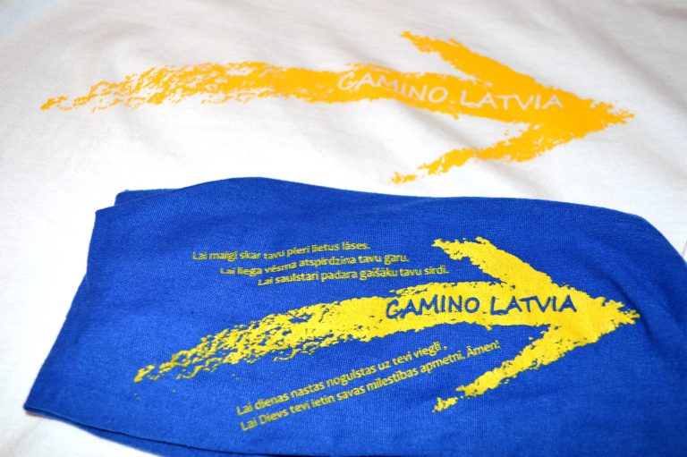
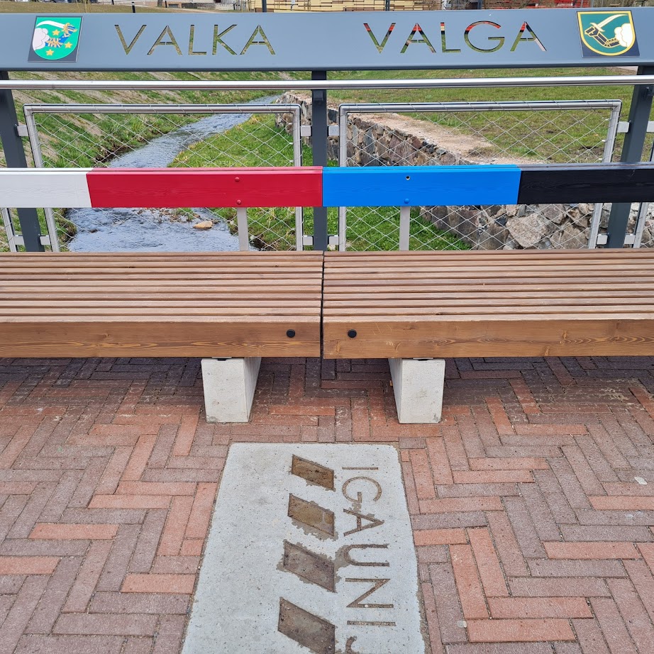
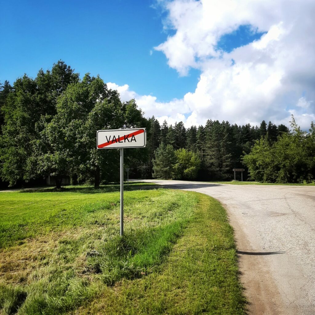
Valka – Turna


Valka – 8.5 km Lugaži – 11,5 km Turna
Stage consultant – Rita, WhatsApp or SMS, +371 29112999, e-mail rikenigs@gmail.com
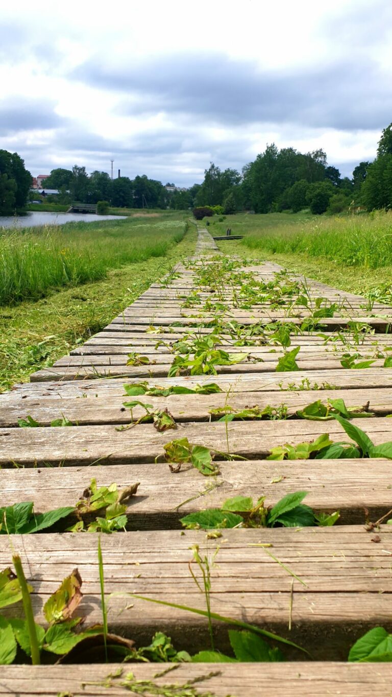
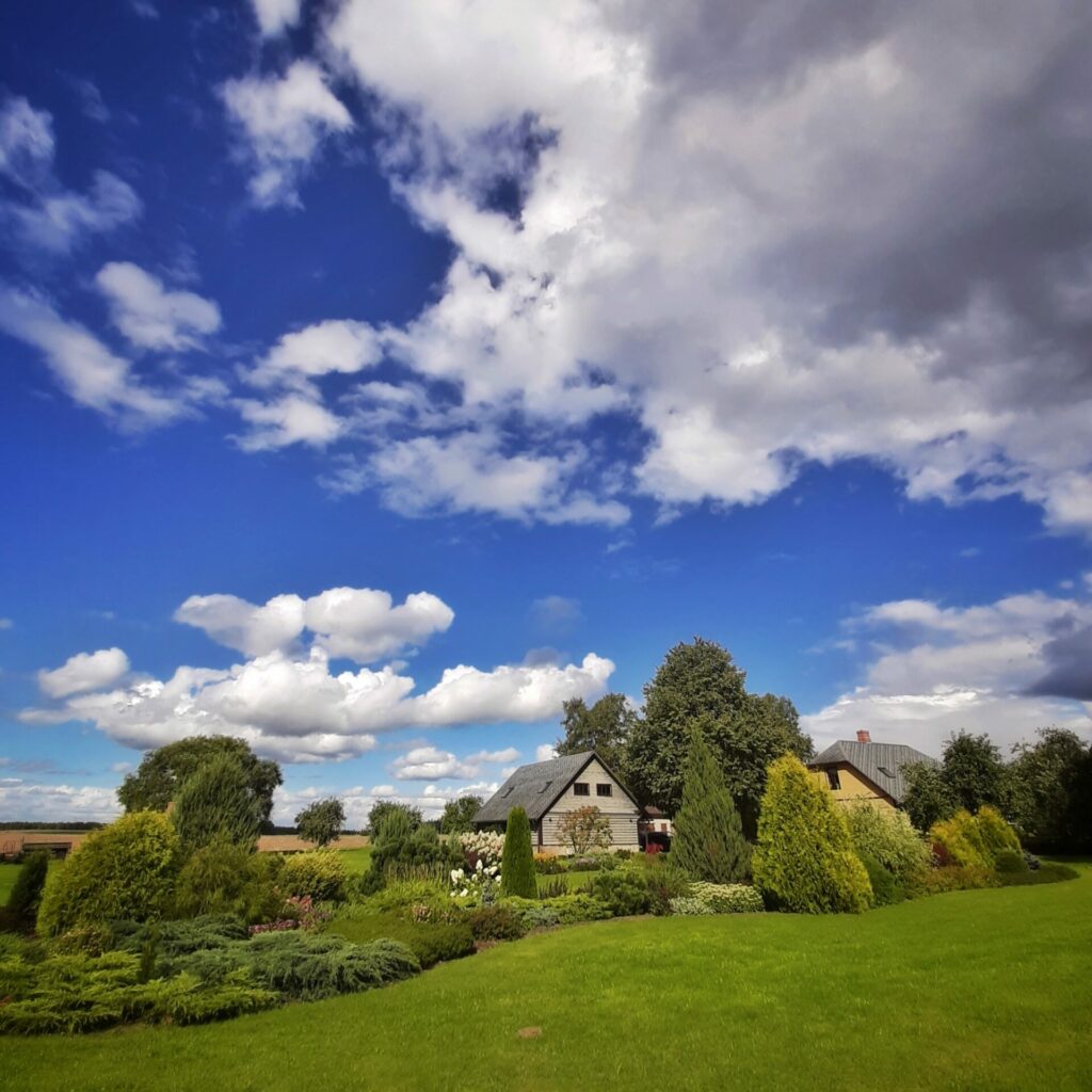
This stage runs through the city, continues on pedestrian roads, along gravel paths through forests and fields. This stage is not long, so perhaps at first to enjoy the cities Valka/Valga, as well as a swim in a lake near the city’s border.
When starting the journey, you can buy pilgrim passports at the Valkas Tourism Information Center, Semināra Street 1.
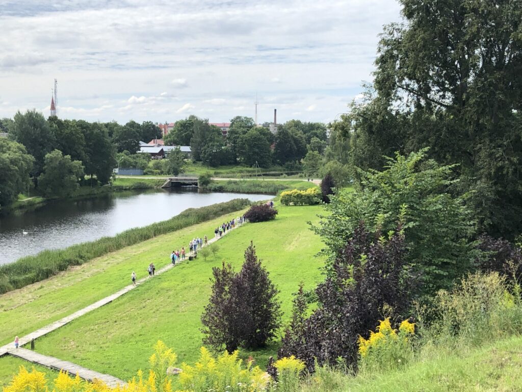
The official start of this stage is at Putraskalns, 70 m from the Estonian border where is the border post of Camino Latvia. There is a great view to the city from the Putraskalns.
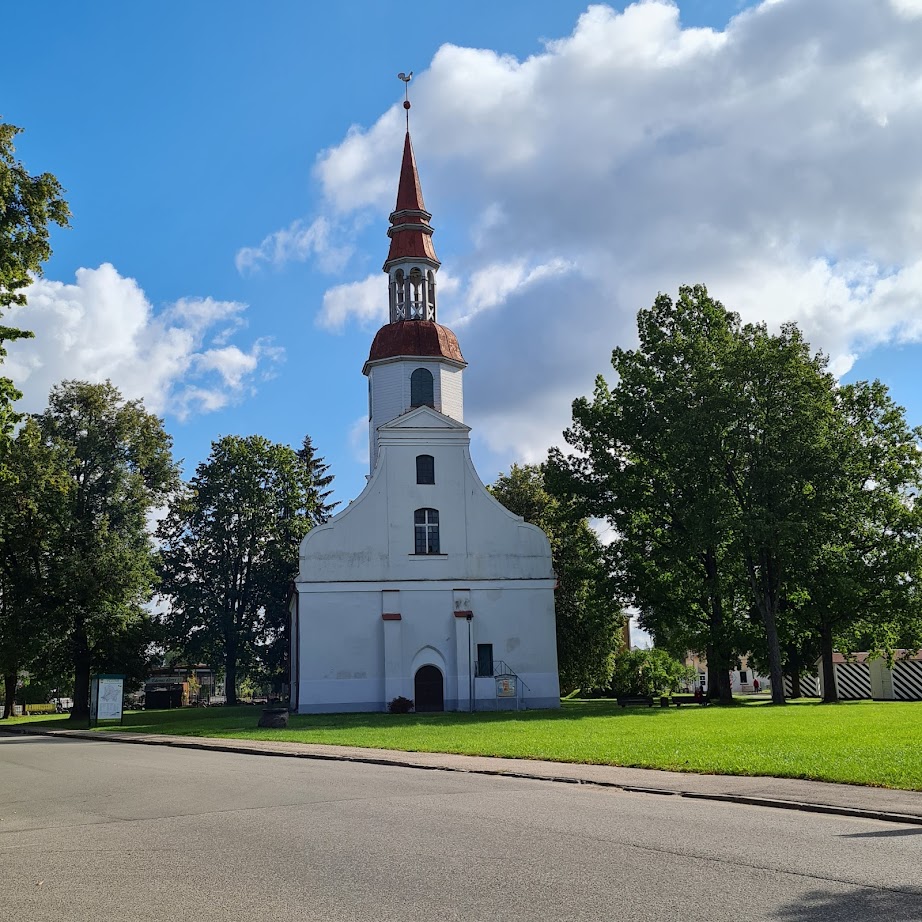
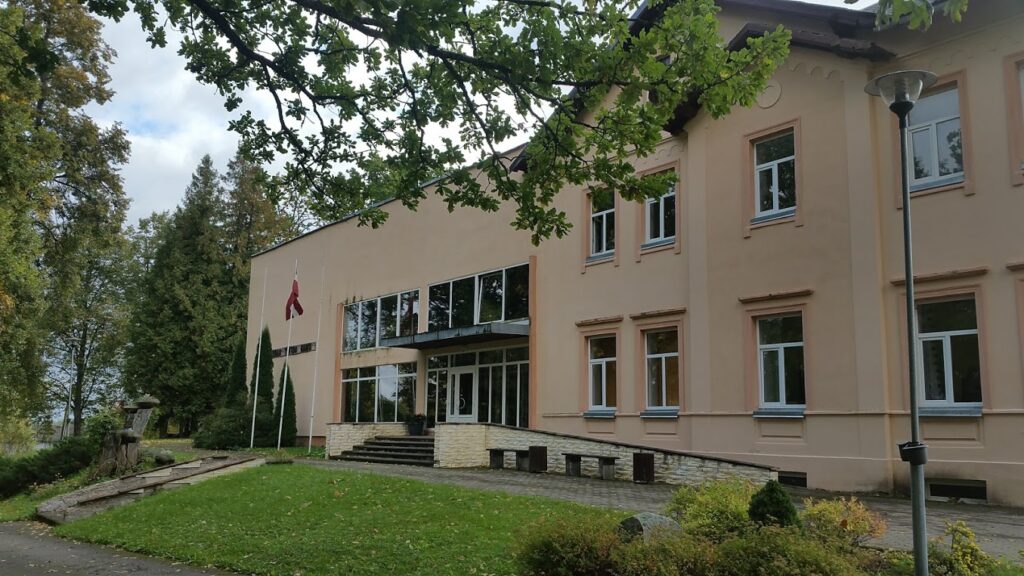
Go down the hill to the right, following the Camino signs till Selijas Street. Further to the left across the canal to Riga street. Go right along Rīgas Street in the direction of the church. On the right is the “Jumis” bistro, which also offers accommodation. Valkas Lugažu Ev. Lutheran church stands proudly on the left side of the street.
Passing the church continue straight on Riga Street up to the V junction where Camino route turns right on the linden’s alley of Raina Street. Continuing straight on Raina Street on the right side of the intersection with Ausekļa Street is a coffee self-service point, the road leads straight past the park with the Latvian flag. Turn right at the intersection of Beverinas Street.
If wish to get to Turna faster, or driving a bike, or likely to walk down the side of the road, then continuing on Raina Street will come to the center of Lugazi, where the road re-joins with the Camino route.
After a while on Beverinas Street on the right side is Valka Gymnasium and child playground
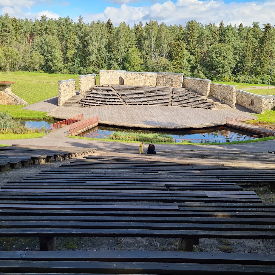
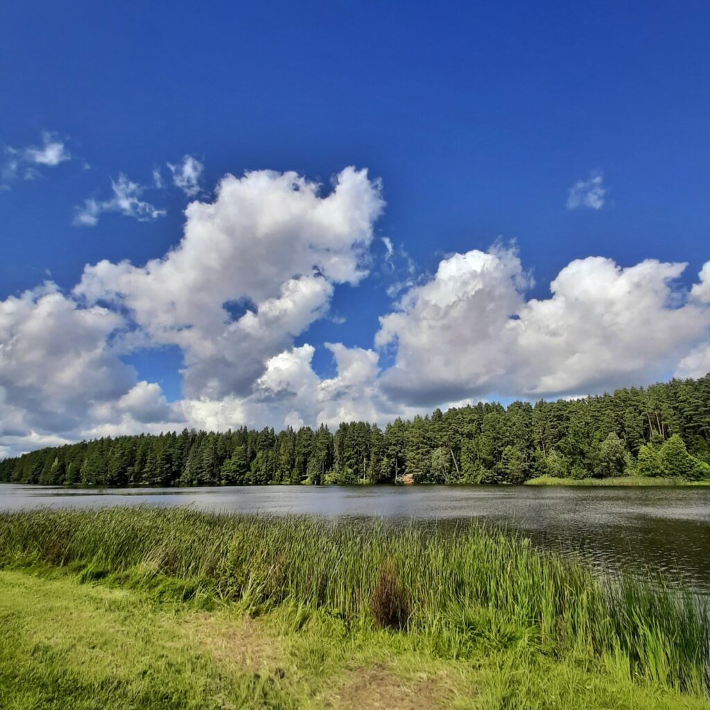
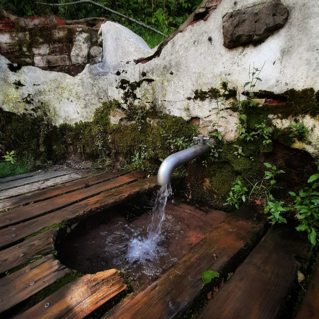
Turn to the left at the next intersection with Talava Street, and after 30 m, to the right to Varonu Street and continue till the more important intersection of road A3/Rujienas Street. Cross the intersection and walk down the pedestrian path to the parking lot. The Valka Meza cemetery remains on the left. Go down on a small path to the open-air stage, cross it, and follow a small forest path on the left. After about 500 m, cross the Pedele River and go along the path (slightly to the left), which leads back to the pedestrian path of Varonu Street, where should turn to the right. When reach the lake Zagezers, there is spring with drinking water and a small beech for swimming.
This is a great place to rest before we go through rural and wooded roads. 600 m further is the guest house Ezernieki.
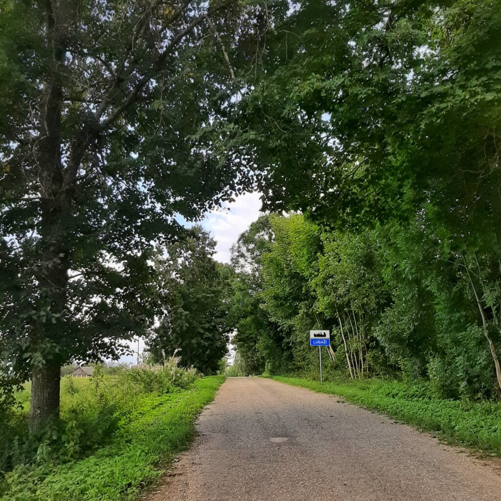
Should turn left at the intersection next to the lake Zāģezers, the bus stop remains on the right. At first, the road is tarred. In 150m at the split of roads, we continue straight, after next 200m when the tarred surface of the road ends still continues straight passing a red brick building. Camino leads along the fields here and after 2.5 km, we reach the intersection with a highway (on the right is the bus stop ROŅI), cross the highway and continue straight to direction Lugazi by the rural road. In 1.5 km, in the center of Lugazi, turn right on the Raina Street where the bus stop remains on our left. At 100 m, on the right, a good place for a rest with a shelter, a table and a bench, there will be no other until Turna. Road continues to the right.
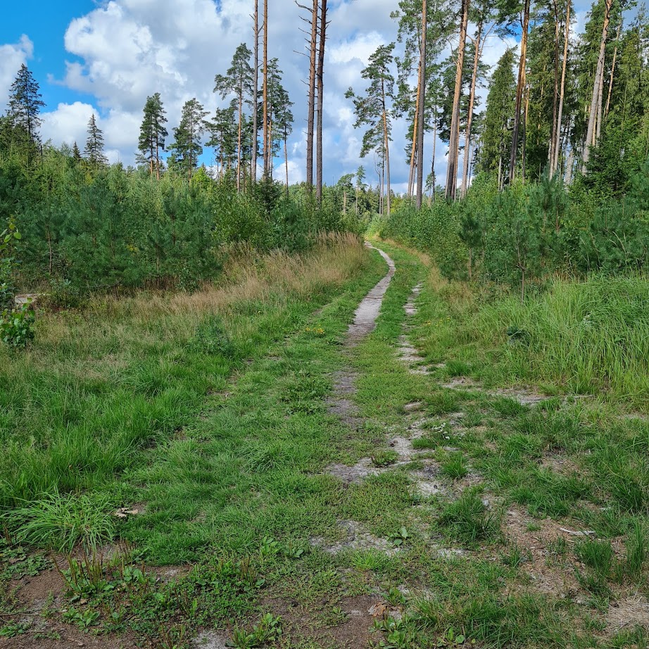
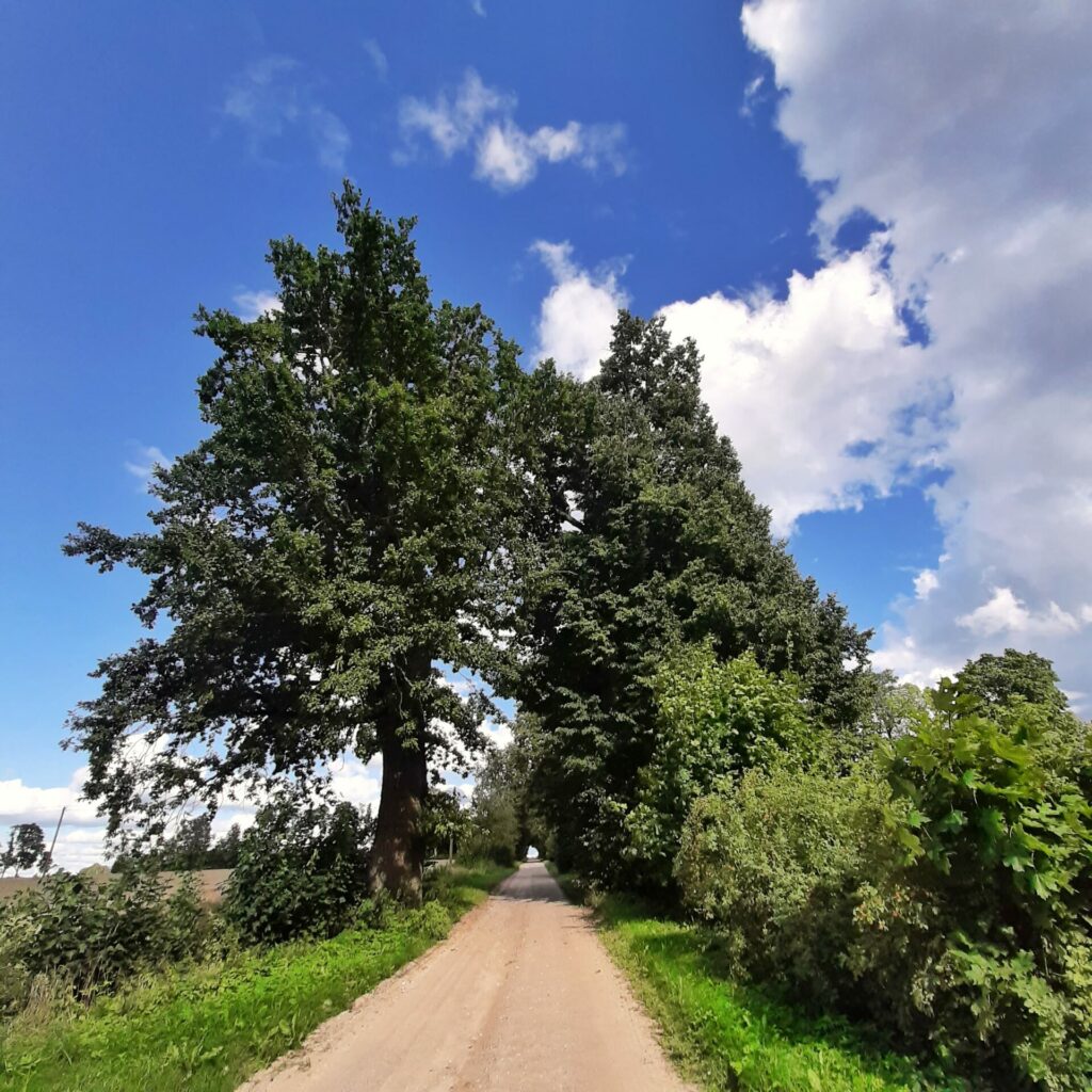
When Lugazi ends, there is a bus stop BURGAS, followed by the intersection of roads. Turn left here and cross another road a few metres later. We continue straight through the alley by a narrow gravel road. After 450 m, we continue straight at a small crossing. The road crosses the courtyards of several houses. In 1 km turn right. On both sides houses hidden in the trees can be seen, continue down a narrow, slightly overgrown road, across the meadow until reach the intersection with forest road.
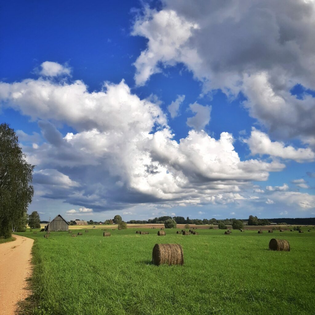
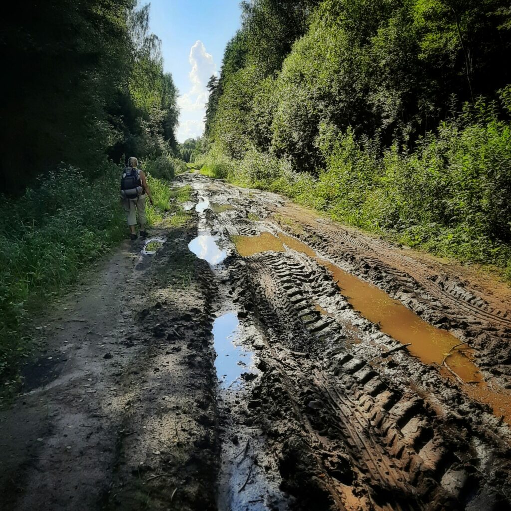
Turn left. This part is muddy and affected by logging machinery. After 1.5 km, we reach the bridge over the river Rikanda. Here on the left is a view of the meadows of Burga, where a lot of birds are nesting and gathering.
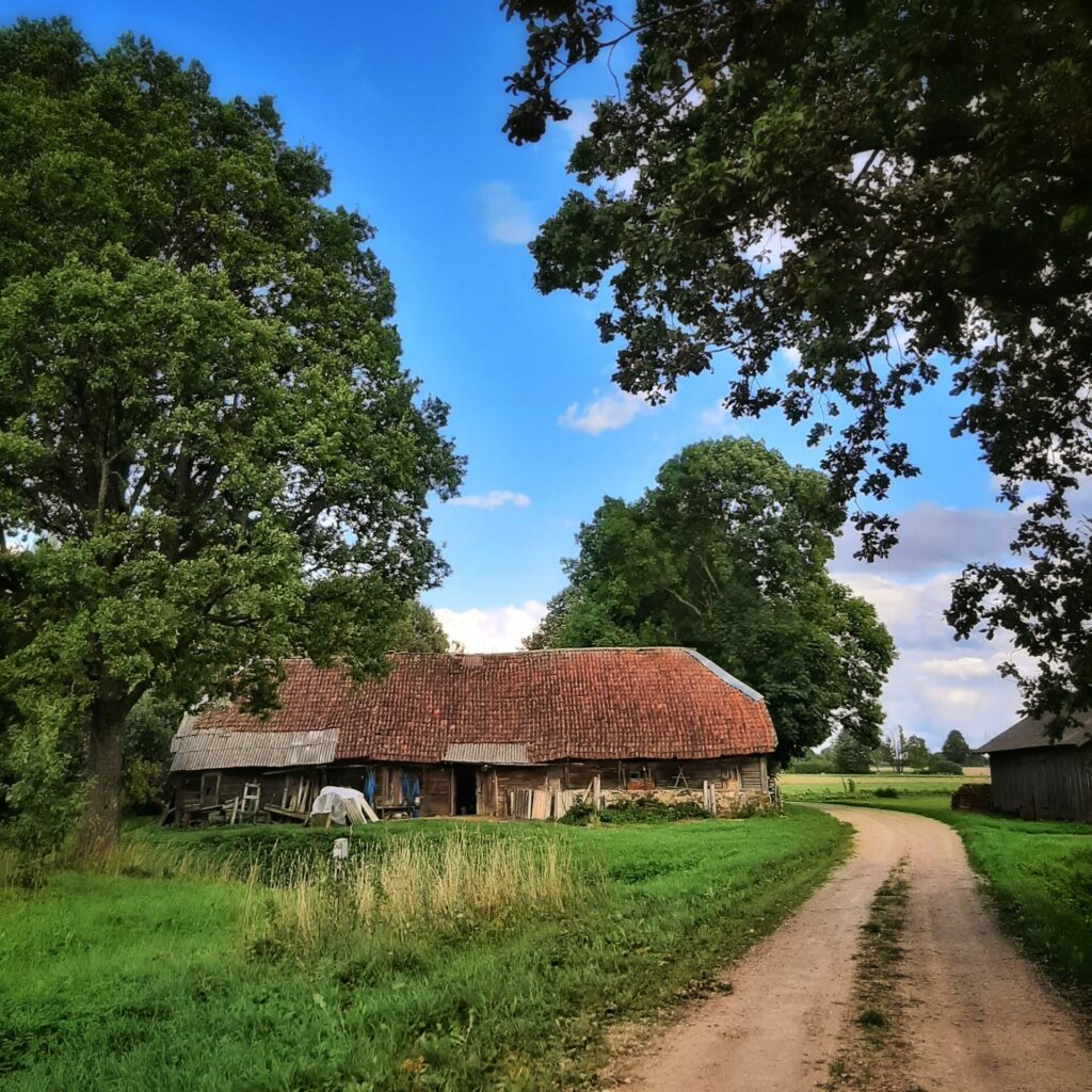
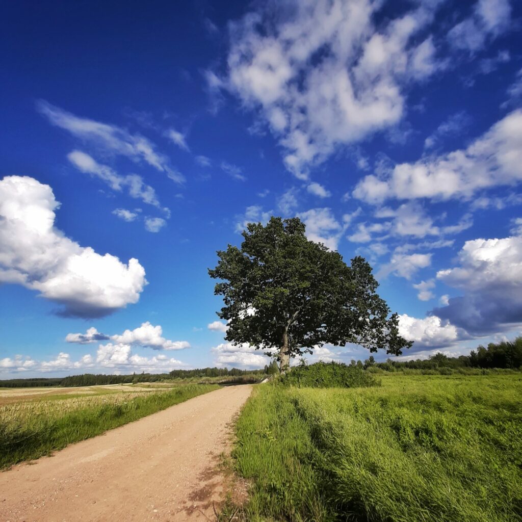
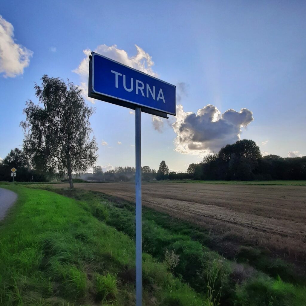
Beyond the bridge, the road becomes wider and more friendly, leads through fields and lonely farmsteads. After 2.5 km at crossroads keep left and 2 km later when reach an asphalt covered road, turn left. After another 1.5 km, we reach the centre of Turna.
Accommodation and stamp are available at the Cultural Center of Turna (Turnas Tautas nams). There is a small grocery store in Turna, but should call if you coming late.