Jaunmārupe – Tīreļi


Jaunmārupe – 4 km Golf club – 6 km Cielavas – 10 km Ložmetējkalns – 7 km Tīreļi
Stage consultant – Anita, WhatsApp or SMS, +371 26409909, e-mail: ancenite@inbox.lv
Attention!!! This stage has been affected by storm damage. The forest road section from Ložmetējkalns to Tīreļi is blocked by fallen trees. We recommend bypassing it by heading from Ložmetējkalns in the direction of the Rīga-Liepāja highway, then turning left and heading towards Liepāja, passing the accommodation “Aitiņlauvas” until reaching the settlement of Tīreļi. This is also the end point of the stage.
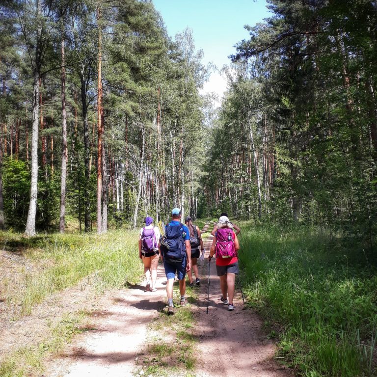
The 27 km-long route Jaunmarupe – Tireli starts from the guest house Laura, Mazcenu Alley 37a, Jaunmarupe. We’ll spend the whole day in the woods meeting little or no people, so when we start, we need to bring along water for the rest of the day. The stage will take a little more time than usual, because we’ll go along a soft sand road.
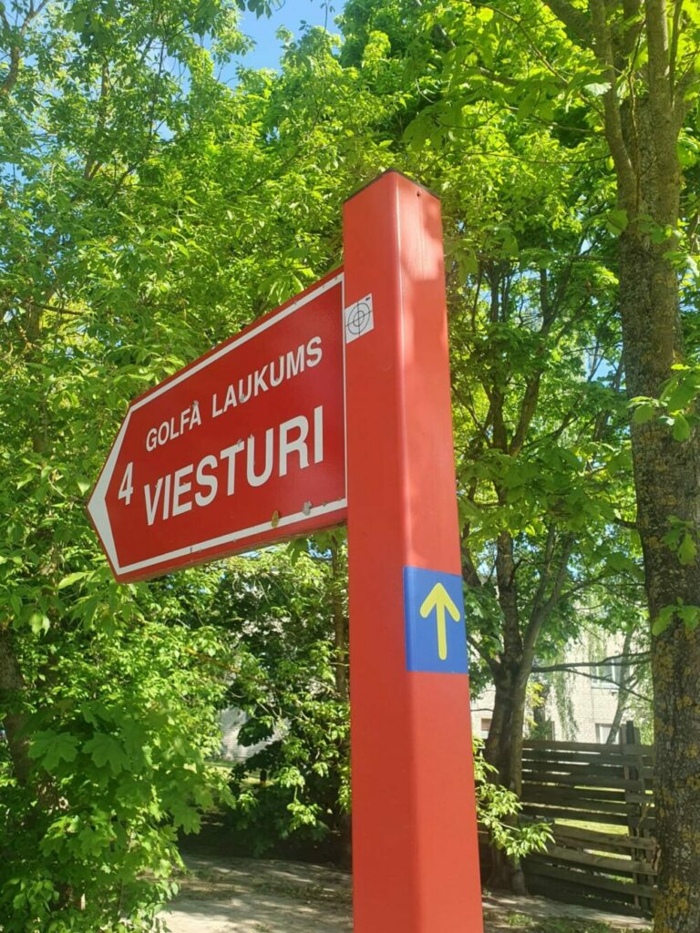
As we leave the guest house, we go to the left and turn to the right at about 60 metres to direction to the golf club Viesturi, located 4.1 km away. We take a fairly narrow, incisive, asphalted field road with no pedestrian sidewalk, so we should be mindful of passing cars.
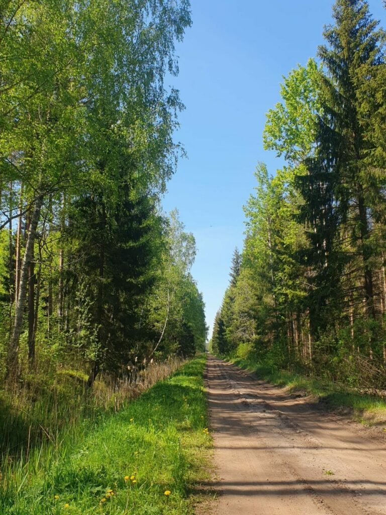
If you did not stay in Jaunmarupe, then after 3.2 km when we reach village Peles on the right of the road is a turn to campsite Bejas 1.6 km away. The route will continue without turning to Bejas and after 900 m is the golf club Viesturi – the last and only place before the end of the route, where coffee, food and water can be purchased in the bar. Behind the golf club, route continues by a low-covering rural road. There is a pine forest on both sides of the road, enjoying silence and following arrows after 5.8 km we reach Cielavas – small village with only a couple of houses.
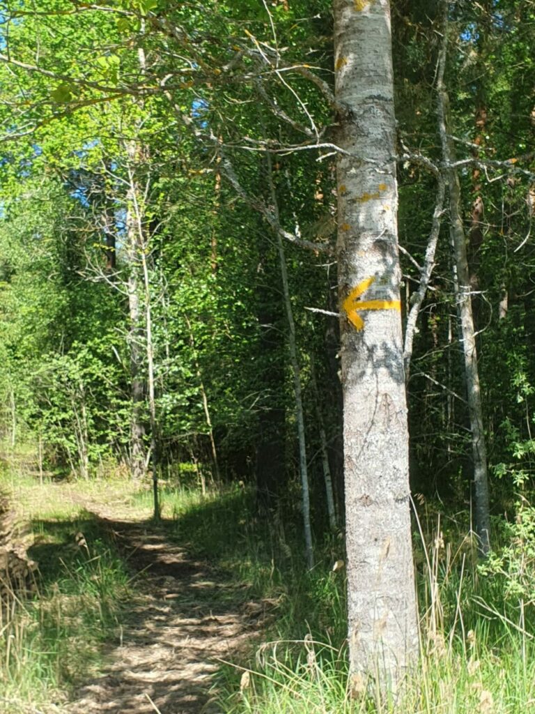
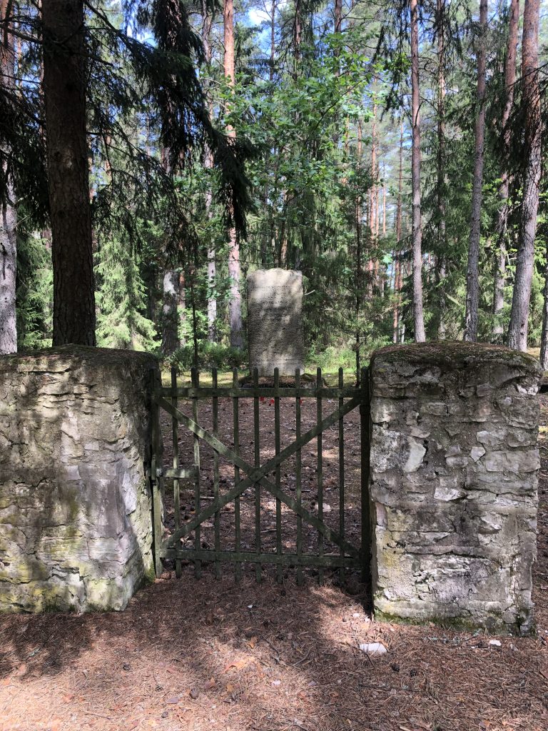
At the junction, right after the two houses we turn to the left onto an even smaller wooded path. We continue to walk down the forest and the dunes for the next 3.9 km till a junction with a slightly more important road ahead. We cross the junction, continuing our way straight forward. At 50 m, behind the junction, there will be a memorial site for soldiers killed in First World War.
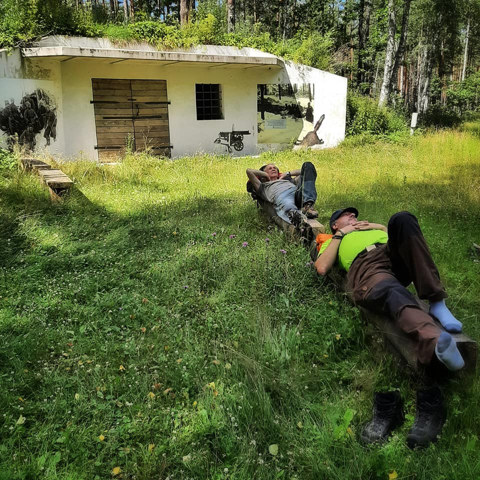
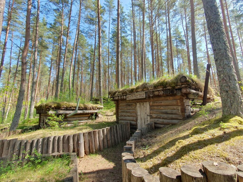
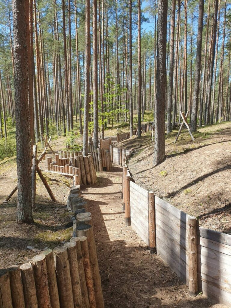
Our route continues to the left of the bunker and memorial site, along a soft sand road. After 200 m into the dune—about 10 m off the road is a renewed piece of First World War fortifications – three dugouts and a 100 m long piece of fortifications. There are also tables and benches to rest on.
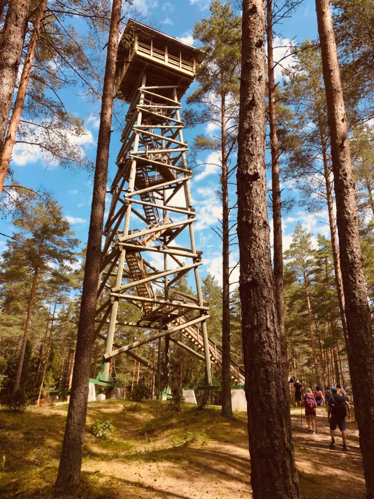
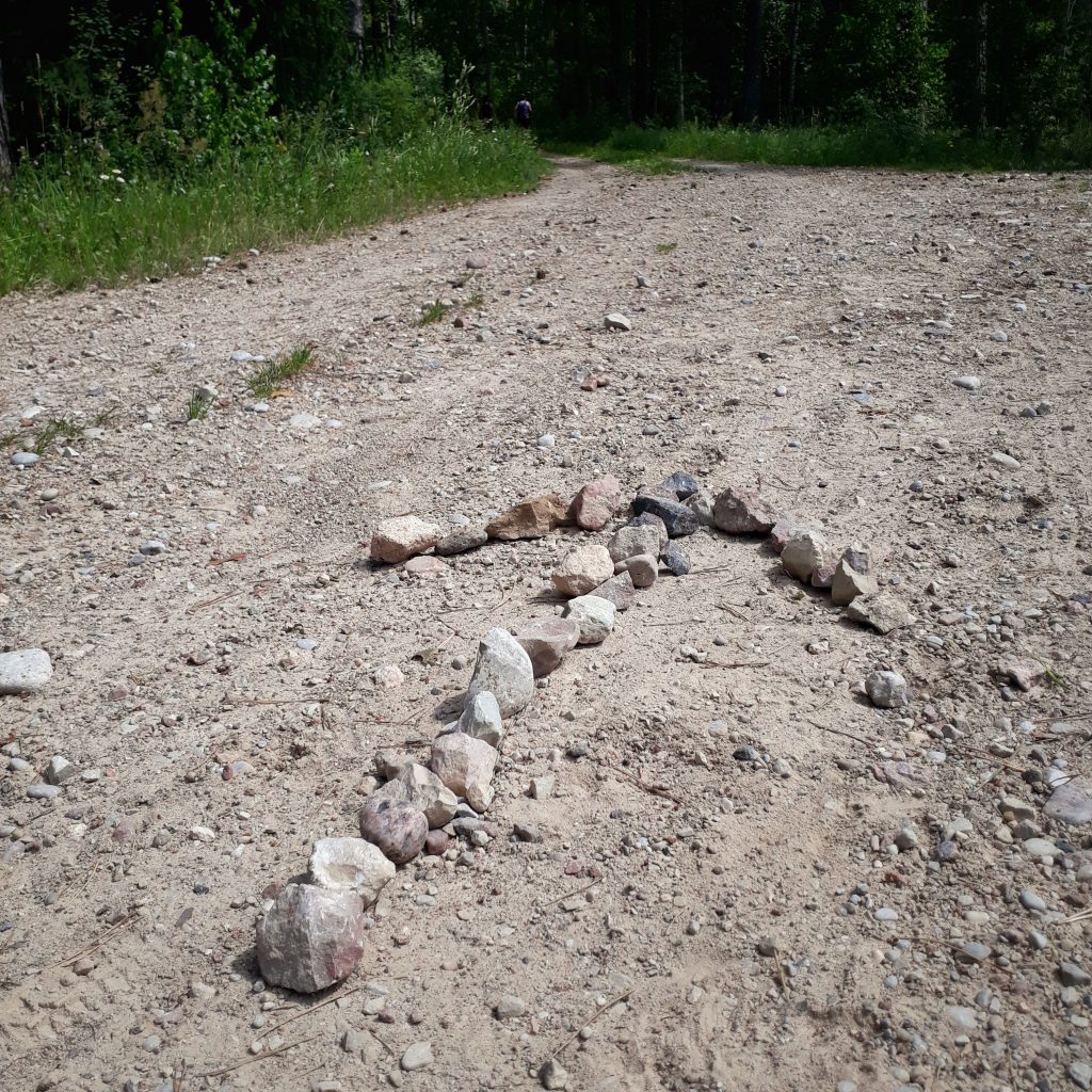
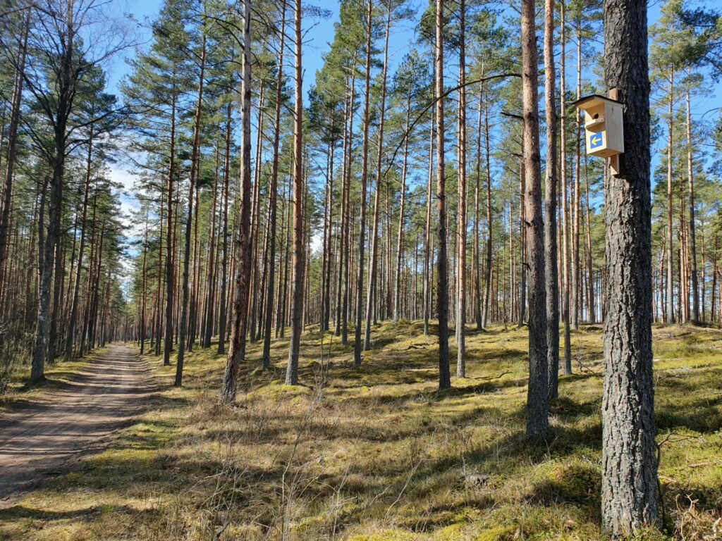
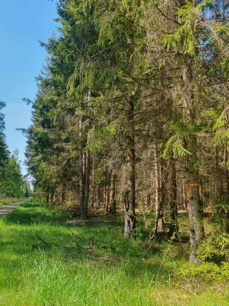
On the right side of the road, the Long Dune begins, along which we shall continue until the end of the phase. Another 200 m from the resting area along the left of the road, a swamp with bogs begins, so it is dangerous to go in there, better to keep on the road or go up the dunes. We continue the next 5.7 km along the same path to Lozmetejkalns, where there is a resting place, a viewing platform and a dry toilet.
We continue along the road and 1 km behind the Lozmetejkalns we should follow the signs carefully. We turn from the road to the left after the ditch and walk back along the edge of the moat 150 m, then deeper into the woods along the forest path.
We continue along the path 1.3 km, then turn to the right and, following the signs, move 400 metres to the next forest path we go to the left. If you are planning to stay at the guesthouse in Aitinlauvas, then follow the indication after 700 m and turn right.
If you continue on the Tireli, then after 400 m, when road is splitting, keep to the right. After 650 m, keep to the right again. We reach Tireli by Vidus street and go straight to the end till Jana’s house at Vidus street 3 ( you could get stamp here), or pass it to the road P99, where we turn to the right. This route ends at 600 m at intersection with highway P98.