Caunītes – Cēsis


Caunītes – 20 km Cēsis
Stage consultant – Sarmīte, WhatsApp or SMS, +371 29119121, e-mail: lacesarmite@gmail.com
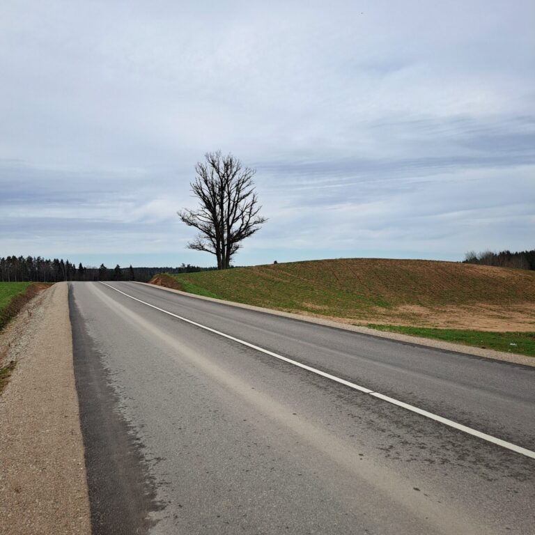
The stage from Caunites to Cesis is relatively short and easy, but there are no shops or catering places on the road either. That’s why you have to fill the bottles of drinking water in the Caunites, prepare the sandwiches for the road, and go ahead!
We leave the courtyard of Caunites and turn left at the first intersection. We follow the drive straight ahead, cross the ground road a short time later (at the intersection the road pointer points to Cesis), and continue along the edge of the woods, where the narrow path soon passes into a wide woodland path. Soon the first intersection of woodland trails is present and we turn to the right, where the wide woodland trail leads. A small climb follows and comes to the clearing and country fence. The road leads out of the woods and into the farm house (the sign “private property” in front), but we turn immediately to the left at the edge of the woods, where a narrow path soon takes us back into the woods.
The next 2.5 kilometres leads to a well-established/inbound woodland trail and we have to stick to that trail. After throwing a couple of small curves, the trail leads us to a wide ground road where we turn left (at the intersection, the road pointer points to Cesis) and immediately at the next intersection we pick left again. We continue along the drive-in wide ground road, another 100 meters later at the next junction picking to the right (the road left leads to Mežciems house), and the road across the clearing takes us to the next junction at the edge of the woods, where roads to the houses named Kripeni. We pick our way right to the Veckripeni and go back into the woods.
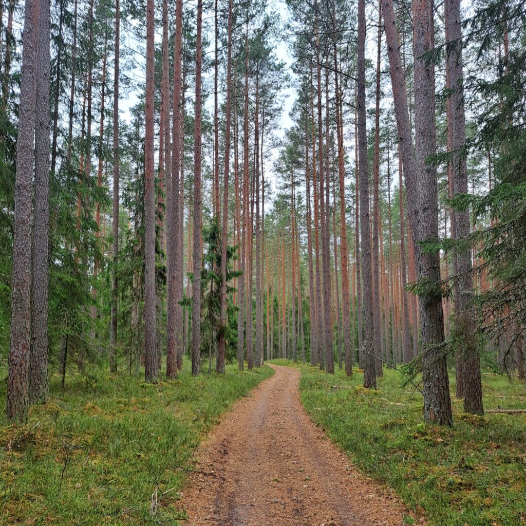
After 300 metres, the wide woodland road cuts to the left, but we have to turn to the right. We walk so forward for the next two kilometers without turning anywhere until we get to a wide gravel road. We turn left and continue along the side of the road. Will pass the graves names “Strīķu kapi”, and in a little while time there will be a road crossing where we turn left in the direction of Cesis.
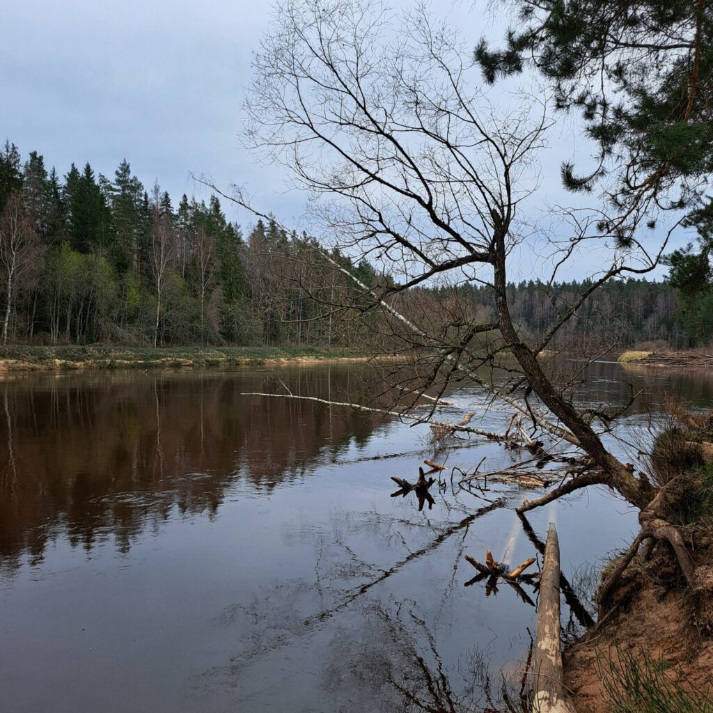
Gravel road has turned into an asphalted road and takes us to the Ramnieki, where there is a bridge across the Gauja river. Before the bridge, on the left side of the road is „Janaramis“ a well-furnished boatman stop and resting place. Here you can sit down, have a takeaway meal, visit simple amenities. You can sit in a sheltered pergola in bad weather.
We pass through the Ramnieki on the tarmac road. The asphalted road soon passes into gravel, and a short time later there is a junction with another gravel road, and here we turn to the right. We continue along the country road that runs along peasant fences, and in less than 3 kilometers the road hits a junction with another gravel road. Here we turn right, walk 100 metres, turn left, then left again, and end up on another gravel road. Behind us is the road to the Pieskalni, a small settlement. There are Erglu cliffs on the banks of Gauja not far from the Pieskalni, so if you walk well, there is time and strength to allow it, you can make a little bend through the village Pieskalni and walk to Gauja.
We continue along the gravel road and turn left after a kilometre at the intersection with another gravel road. Half a kilometre later, the road splits, and here we turn to the right.
1.6 km we continue along this road alone without turning anywhere, including the fence of a military object, until it reaches a triangular intersection of roads. Across the intersection can see a large building. It is one of Camino’s accommodations – “Gaujaslici.” Heading in its direction.
80 m after passing the sign of “Gaujaslici”, turn left on a wooded road and go up a hill in the forest. Continue straight this sandy wooded road for 1 km across all crossings until reach a T- junction with the highway. Turn to the left and in 100 m, turn to the right in the forest again. In 300 m turn left at the T junction, and then after 150 m turn the right along the low rumblings up the hill to the tarred Turaidas Street near the multi-floor houses. Turn to the
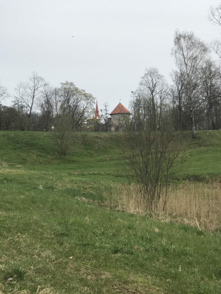
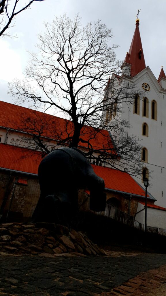
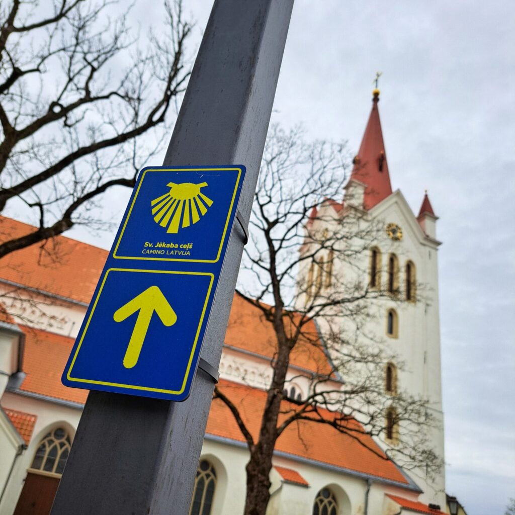
left on the street, move over to the sidewalk and in the next T-junction with Viestura Street turn right. Here’s a beautiful view at the towers of Cesis Castle and St. John’s Church.
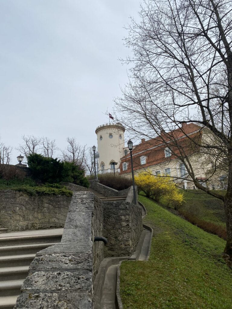
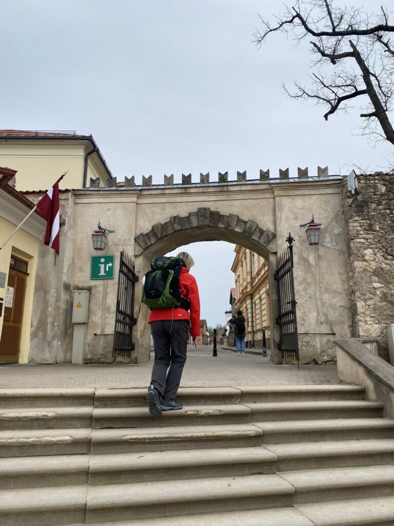
Continue straight on Viestura Street until a pedestrian path begins on the left side across the shop “TOP”. Turn left on this pedestrian path. After 40 m in the crossing, turn left along a beautiful twisted pedestrian path across a ravine. After passing the cemetery, we come to the Palasta Street, cross it and take a cobbled pedestrian path to the park od Castle. Keeping along the left side of the park, go up towards the Cesis Castle, along the open-air stage, until reach the stairs. Stepping up, passing across the square and through the gates, we are on Torna Street. Turn right and head to St. John’s Church.
This is where the stage ends. Nice rest and a lot of good feelings at Cesis!
The alternative option (left bank) – Liepa – 10.5 km Jāņmuiža – 12.5 km Cēsis
This Liepa-Cesis stage leads through the territory of Gauja National Park and it has not been marked. We recommend that this stage should be planned by yourself, using only public roads and paths and being respectful to the protected nature area. The signs and road markings restart only in territory of city Cesis.
ATTENTION!
STAGES VALMIERA – LIEPA – CESIS : FULL ROUTE DESCRIPTION AND GPX/KML TRACKS ARE NOT AVAILABLE.
In case of questions, please contact:
+371 29119121, Sarmite
+371 26358285, Aija
OUR APOLOGISE FOR THE INCONVENIENCE!
!